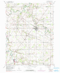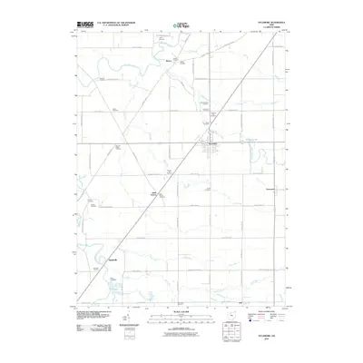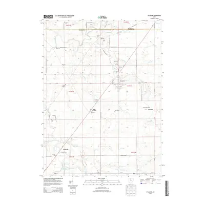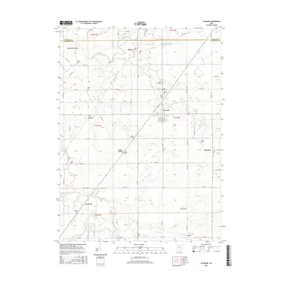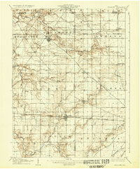
1906 Map of Sycamore
USGS Topo · Published 1932About this map
The Sandusky River carves a winding path through the northwest corner of this Ohio landscape, where the convergence of Seneca, Wyandot, and Crawford counties creates a dense grid of agricultural townships. This area is defined by its early 20th-century rail infrastructure, with several major lines like the Northern Ohio RR and the Pittsburg Fort Wayne and Chicago RR intersecting the terrain. These rail corridors fueled the growth of central hubs such as Sycamore and Nevada, while smaller settlements like Osceola and Belle Vernon served the surrounding farming communities.
Find a feature on this map
52 named features on this map. Tap any name to fly to it.
Don’t see what you’re looking for? This feature index may not catch every label — zoom into the map to look around manually.
Map Details
Editions of this 1906 Sycamore Map
This is the sole edition of this map. No revisions or reprints were ever made.
Historical Maps of Bucyrus Through Time
7 maps found