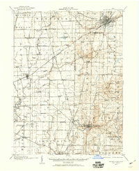
1913 Map of Mount Gilead
USGS Topo · Published 1960About this map
Mount Gilead and Galion anchor this early twentieth-century survey of North Central Ohio, which captures the region's transition from a rural agricultural landscape to a rail-connected industrial hub. The intricate drainage network of the Whetstone River and Olentangy River is mapped alongside an exhaustive system of country schools, including uniquely named sites like Hog Swamp School, Sixteen School, and Goulding Star School.
Find a feature on this map
102 named features on this map. Tap any name to fly to it.
Don’t see what you’re looking for? This feature index may not catch every label — zoom into the map to look around manually.
Map Details
Editions of this 1913 Mount Gilead Map
This is the sole edition of this map. No revisions or reprints were ever made.
Historical Maps of Galion Through Time
9 maps found
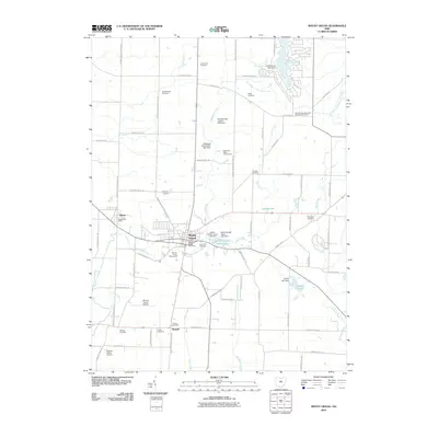
1913 Mount Gilead
Morrow County, OH
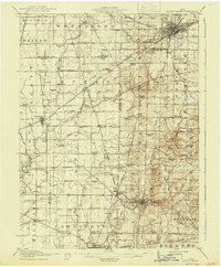
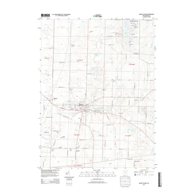
1916 Mount Gilead
Morrow County, OH
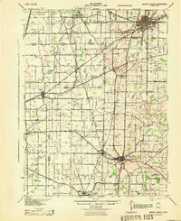
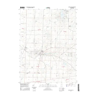
1943 Mount Gilead
Morrow County, OH
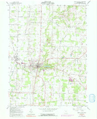
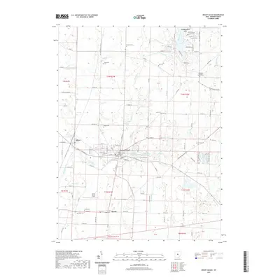
1961 Mount Gilead
Morrow County, OH
2010 Mount Gilead
Morrow County, OH
2013 Mount Gilead
Morrow County, OH
2016 Mount Gilead
Morrow County, OH
2019 Mount Gilead
Morrow County, OH
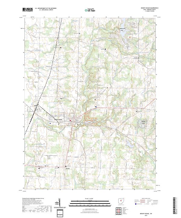
2023 Mount Gilead
Morrow County, OH
Featured Locations
- Galion, OH
- Cardington, Cardington Township
- Caledonia, Claridon Township
- Claridon, Claridon Township
- Mount Gilead, Gilead Township