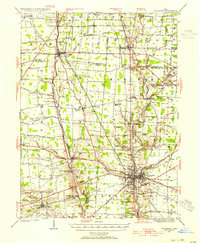
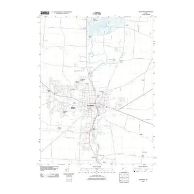
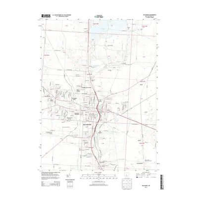
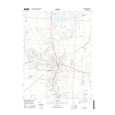
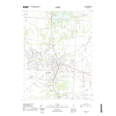
1924 Map of Delaware
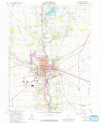
USGS Topo · Published 1954About this map
The Scioto River and Whetstone River carve through this Central Ohio landscape, anchoring a dense network of early 20th-century rural life. The city of Delaware serves as the regional hub, where the Cleveland Cincinnati Chicago and St Louis RR and several other rail lines converge near Greenwood Lake. Beyond the city limits, the terrain is defined by its agricultural character and dozens of family-named intersections like Gast Corner, Mayfield Corners, and Gabriel Corners. This 1924 survey reveals a transition in transportation, showing the Treaty Line and numerous river crossings such as the Stone Mill Bridge and Hoskins Bridge. Genealogists will find a wealth of local data, from New House Cemetery and Oak Grove Cem to rural schoolhouses like Ottawa School and Windfall School, illustrating the localized social structure of townships like Radnor and Marlboro before the consolidation of the mid-century.
Find a feature on this map
109 named features on this map. Tap any name to fly to it.
Don’t see what you’re looking for? This feature index may not catch every label — zoom into the map to look around manually.
Map Details
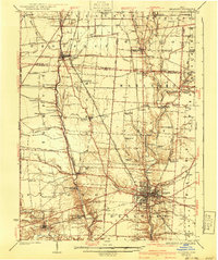
Editions of this 1924 Delaware Map
This is the sole edition of this map. No revisions or reprints were ever made.
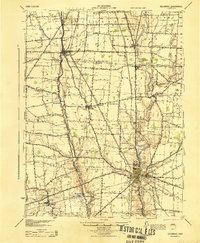
Historical Maps of Delaware Through Time
9 maps found
Featured Locations
- Delaware, OH
- Scioto, Scioto Township
- Ostrander, Scioto Township
- Prospect, Prospect Township
- Radnor, Radnor Township