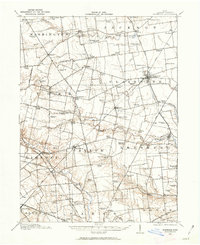
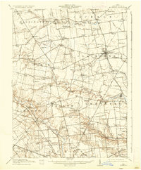
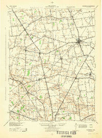
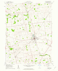
1913 Map of Richwood
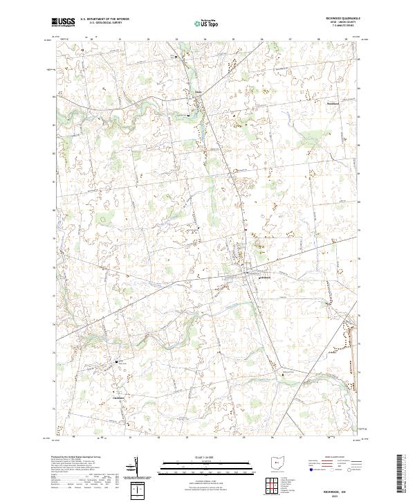
USGS Topo · Published 1962About this map
Richwood and its surrounding townships in Union County reveal a landscape of intensive 19th-century educational and transportation development before the onset of modern rural consolidation. This survey, conducted by R.M. Herrington and C.W.Goodlove, captures a dense network of one-room schoolhouses, including uniquely named sites like Deadwood School and Fountain Grove School. The northern section is bisected by the historic Treaty Line, while the rail economy is visible through the corridor of the Erie Railroad and the Toledo and O C St Marys Branch. In the southeast, the village of Magnetic Springs stands near the banks of Blues Creek, indicating the area's geological and community focal points. From the County Infirmary to the numerous family-named crossings like Byhalia and Pharisburg, the map provides a look at the social infrastructure of early 20th-century Ohio agricultural life.
Find a feature on this map
99 named features on this map. Tap any name to fly to it.
Don’t see what you’re looking for? This feature index may not catch every label — zoom into the map to look around manually.
Map Details
Editions of this 1913 Richwood Map
This is the sole edition of this map. No revisions or reprints were ever made.
Historical Maps of Marysville Through Time
9 maps found
Featured Locations
- Marysville, OH
- Magnetic Springs, Leesburg Township
- Essex, Jackson Township
- Richwood, Claibourne Township
- Byhalia, Washington Township