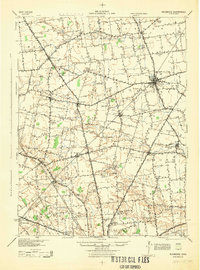
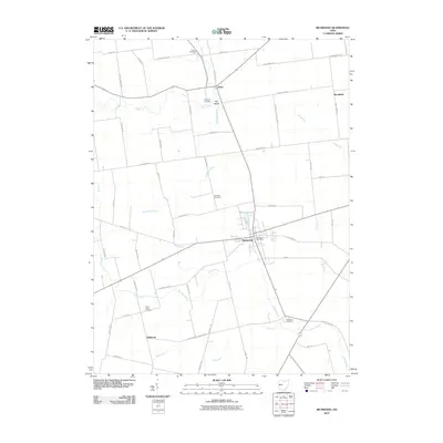
1944 Map of Richwood
USGS Topo · Published 1944About this map
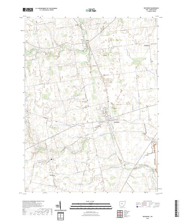
Richwood serves as the primary hub of this 1944 Army Map Service survey, situated at the intersection of the Erie Railroad and several vital transit routes. The landscape of Union County is defined by a dense network of rural one-room schools and small farming settlements like Byhalia, York Center, and Broadway. This mid-century view reveals a social geography where rural education was still highly localized, evidenced by dozens of named institutions such as Cahill Sch, Tawa Sch, and Hildreth Sch.
Find a feature on this map
85 named features on this map. Tap any name to fly to it.
Don’t see what you’re looking for? This feature index may not catch every label — zoom into the map to look around manually.
Map Details
Editions of this 1944 Richwood Map
This is the sole edition of this map. No revisions or reprints were ever made.
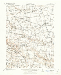
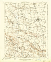
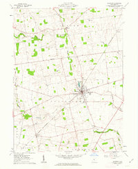
Historical Maps of Marysville Through Time
9 maps found
Featured Locations
- Marysville, OH
- Magnetic Springs, Leesburg Township
- Essex, Jackson Township
- Richwood, Claibourne Township
- Byhalia, Washington Township