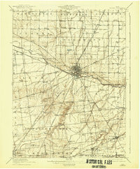
1915 Map of Kenton
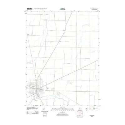
USGS Topo · Published 1942About this map
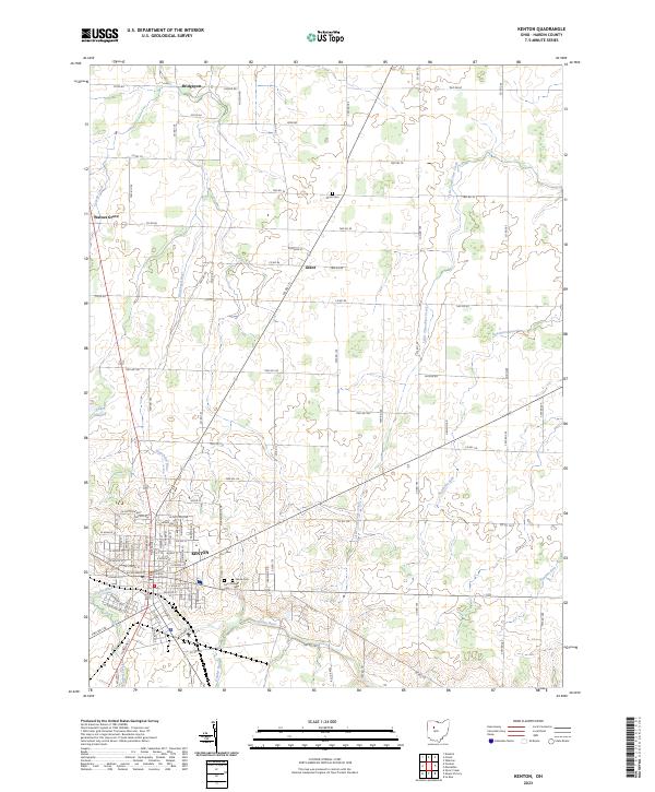
Kenton serves as the focal point of this Hardin County landscape, where the confluence of the Scioto River and Batchlet Run meets a dense network of early 20th-century transportation. The area is defined by its agricultural layout, punctuated by a remarkable density of local schoolhouses such as Henpeck School, Opossum School, and Brush College. These small landmarks, along with the County Infirmary, illustrate the civic structure of a growing Ohio community before mid-century consolidation.
Find a feature on this map
97 named features on this map. Tap any name to fly to it.
Don’t see what you’re looking for? This feature index may not catch every label — zoom into the map to look around manually.
Map Details
Editions of this 1915 Kenton Map
This is the sole edition of this map. No revisions or reprints were ever made.
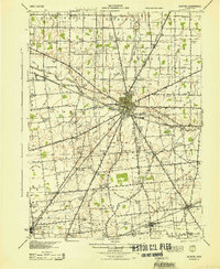
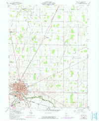
Historical Maps of Kenton Through Time
8 maps found
Featured Locations
- Ridgeway, OH
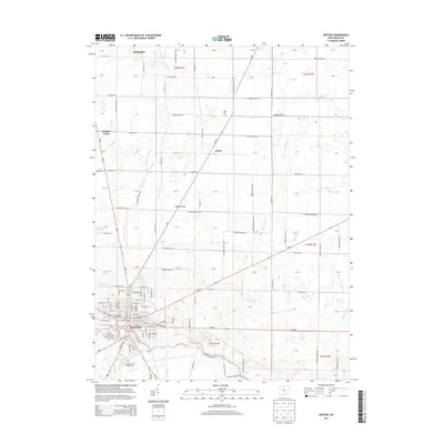
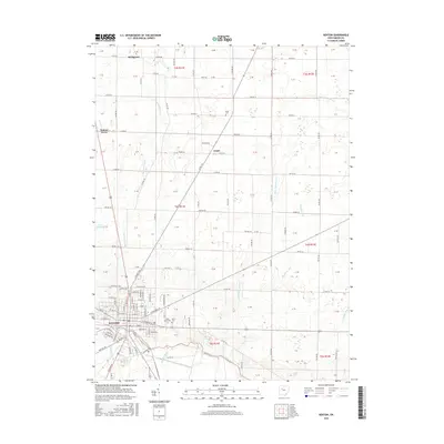
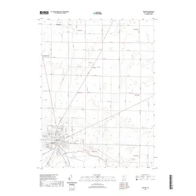
- Kenton, OH
- Belle Center, Richland Township
- Mount Victory, Hale Township
- Blanchard, Blanchard Township