
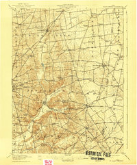
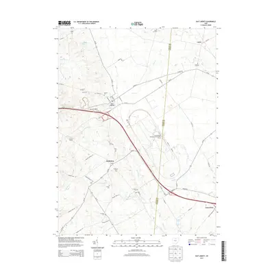
1913 Map of East Liberty
USGS Topo · Published 1961About this map
Campbell Hill rises as a prominent landmark in this 1913 survey, which captures the agrarian and industrial connectivity of Logan and Union counties. The landscape is a network of township boundaries like Jefferson and Rush Creek, punctuated by a remarkably high density of rural schools, including Indian Mound School, Smoky Row School, and Cornbread School. The Greenville Treaty Line cuts across the northern half of the sheet, providing a geographic anchor to the region's frontier history.
Find a feature on this map
87 named features on this map. Tap any name to fly to it.
Don’t see what you’re looking for? This feature index may not catch every label — zoom into the map to look around manually.
Map Details
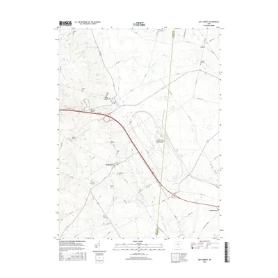
Editions of this 1913 East Liberty Map
This is the sole edition of this map. No revisions or reprints were ever made.
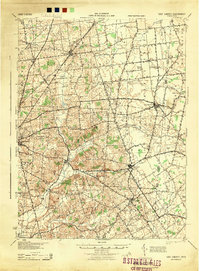
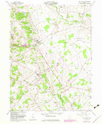
Historical Maps of Bellefontaine Through Time
9 maps found
Featured Locations
- Bellefontaine, OH
- Valley Hi, OH
- West Mansfield, OH
- Rushsylvania, Rushcreek Township
- West Liberty, Liberty Township