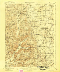
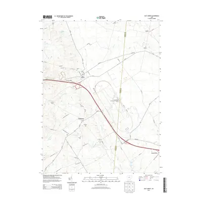
1915 Map of East Liberty
USGS Topo · Published 1941About this map
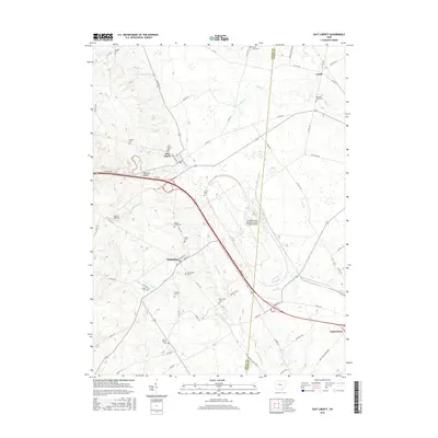
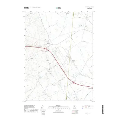
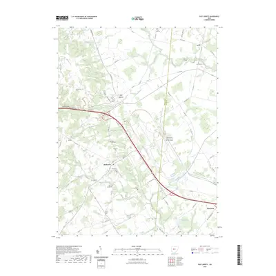
Campbell Hill and the surrounding heights of Jefferson township define the high ground of Logan County in this early twentieth-century survey. The landscape is a dense network of early rural education, featuring uniquely named sites such as Indian Mound School, Cornbread School, and Quaking Asp School scattered across the township lines. Historical survey markers like the Greenville Treaty Line and the Columbus Boundary Line bisect the terrain, reflecting the early administrative divisions of the Ohio frontier. Smaller settlements like Pickrelltown, New Jerusalem, and Marl City are linked by established routes such as the Urbana Road, while the Ohio Central and the Cleveland Cincinnati Chicago and St Louis railroads facilitate commerce through the larger hubs of West Mansfield and East Liberty.
Find a feature on this map
83 named features on this map. Tap any name to fly to it.
Don’t see what you’re looking for? This feature index may not catch every label — zoom into the map to look around manually.
Map Details
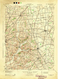
Editions of this 1915 East Liberty Map
This is the sole edition of this map. No revisions or reprints were ever made.
Historical Maps of Bellefontaine Through Time
9 maps found

Featured Locations
- Bellefontaine, OH
- Valley Hi, OH
- West Mansfield, OH
- Rushsylvania, Rushcreek Township
- West Liberty, Liberty Township