
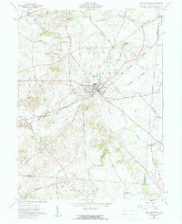
1914 Map of Mechanicsburg
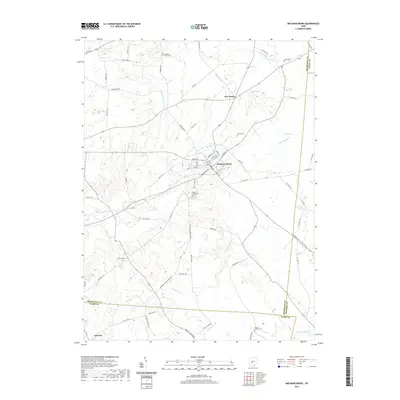
USGS Topo · Published 1954About this map
Mechanicsburg stands as the primary hub in this 1914 survey of east-central Ohio, where the landscape is defined by a dense network of early 20th-century rural infrastructure. The region is heavily marked by its educational history, featuring numerous localized schoolhouses such as Pretty Prairie School, Oak Grove School, and Mt Tabor School. Transportation is dominated by several major rail lines, including the Pittsburgh Cincinnati Chicago and St Louis RR and the Erie RR, which connected small communities like Mingo and Woodstock to larger markets.
Find a feature on this map
71 named features on this map. Tap any name to fly to it.
Don’t see what you’re looking for? This feature index may not catch every label — zoom into the map to look around manually.
Map Details
Editions of this 1914 Mechanicsburg Map
This is the sole edition of this map. No revisions or reprints were ever made.
Historical Maps of Urbana Through Time
9 maps found
1914 Mechanicsburg
Champaign County, OH

1916 Mechanicsburg
Champaign County, OH

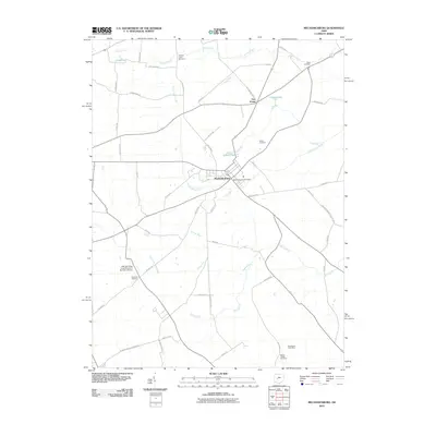
1944 Mechanicsburg
Champaign County, OH
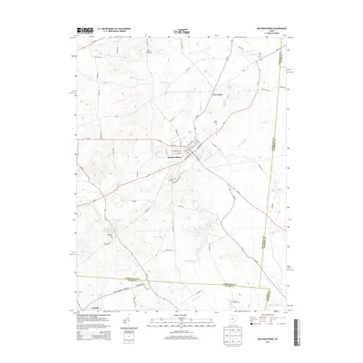
1961 Mechanicsburg
Champaign County, OH
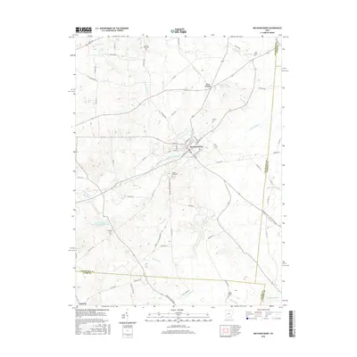
2010 Mechanicsburg
Champaign County, OH
2013 Mechanicsburg
Champaign County, OH
2016 Mechanicsburg
Champaign County, OH
2019 Mechanicsburg
Champaign County, OH
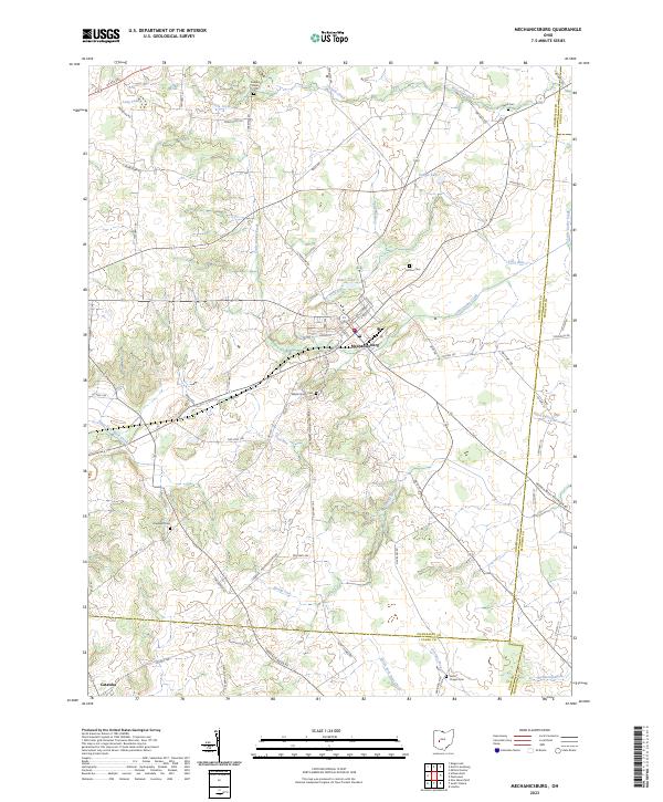
2023 Mechanicsburg
Champaign County, OH