
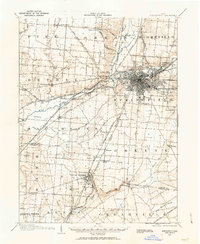
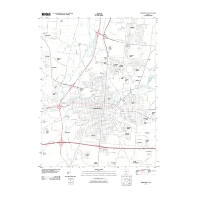
1906 Map of Springfield
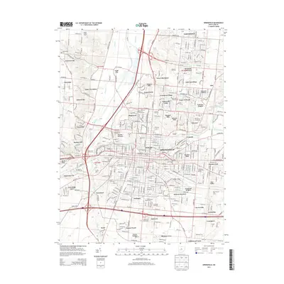
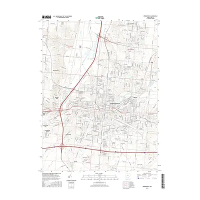
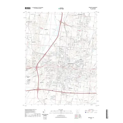
USGS Topo · Published 1942About this map
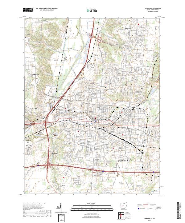
Springfield sits at the heart of a dense nineteenth-century transportation network, where the industrial center's growth is defined by the convergence of several major railroads and the National Pike. This 1906 survey reveals the city's expansion north of the Mad River, with established local landmarks like the Masonic Home and the sprawling Ferncliff Cemetery. The landscape transitions from the urban grid to the milling and farming hamlets of Snyders Mill and Donnelsville.
Find a feature on this map
69 named features on this map. Tap any name to fly to it.
Don’t see what you’re looking for? This feature index may not catch every label — zoom into the map to look around manually.
Map Details
Editions of this 1906 Springfield Map
This is the sole edition of this map. No revisions or reprints were ever made.
Historical Maps of Springfield Through Time
10 maps found
1904 Springfield
Clark County, OH
1906 Springfield
Clark County, OH
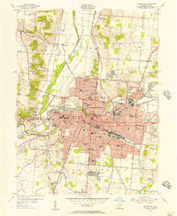
1955 Springfield
Clark County, OH
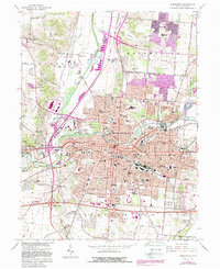
1966 Springfield
Clark County, OH
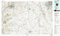
1986 Springfield
Clark County, OH
2010 Springfield
Clark County, OH
2013 Springfield
Clark County, OH
2016 Springfield
Clark County, OH
2019 Springfield
Clark County, OH
2023 Springfield
Clark County, OH
Featured Locations
- Fairborn, OH
- Mad River, OH
- Springfield, OH
- Cedarville, Cedarville Township
- Yellow Springs, Miami Township