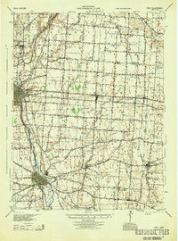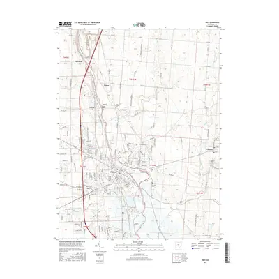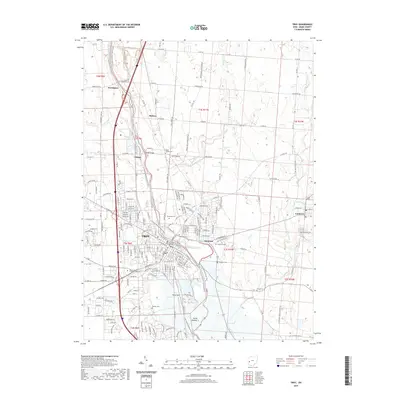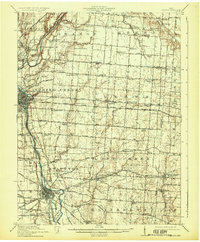
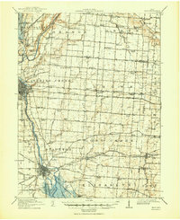
1914 Map of Troy
USGS Topo · Published 1931About this map
The Miami River valley serves as the central artery of this pre-World War I landscape, where the Miami and Erie Canal still parallels the riverbanks through Piqua and Troy. The convergence of heavy rail and interurban lines, including the Dayton and Troy Electric RR and Western Ohio Electric RR, illustrates a region at the height of its transit-based development. Beyond the industrial corridors of the larger towns, the rural townships are remarkably dense with small local institutions. Numerous unique schoolhouses like Sheepskin School, Frogpond School, and Snodgrass School are spaced frequently across the grid of roads such as Plattsville Road and St Paris Road. Notable social landmarks including the County Infirmary and Childrens Home reflect the era's approach to community welfare, while the dense network of drainage along Lost Creek and Honey Creek highlights the agricultural productivity of the Miami County soil.
Find a feature on this map
94 named features on this map. Tap any name to fly to it.
Don’t see what you’re looking for? This feature index may not catch every label — zoom into the map to look around manually.
Map Details
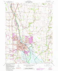
Editions of this 1914 Troy Map
2 editions found
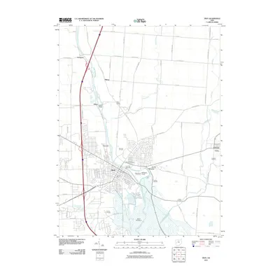
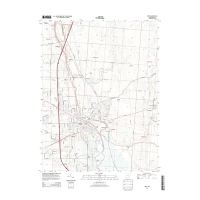
Historical Maps of Troy Through Time
8 maps found