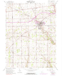
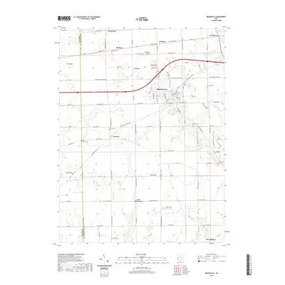
1905 Map of Brookville
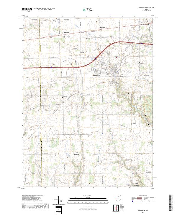
USGS Topo · Published 1953About this map
The Stillwater River carves a deep valley through this agricultural corridor at the turn of the century, where the newly constructed Englewood Dam Spillway 870 alters the landscape north of Trotwood. This era of transition is marked by the presence of several post offices that would later consolidate, such as Potsdam PO, Frederick Fidelity PO, and Stillwater Junc Mumma ville PO. Transportation networks define the region's growth, with the historic National Road and the Dayton and Turnpike crossing the path of the Pittsburg Cincinnati Chicago & St Louis Ry. Small rural schoolhouses like Harshbarger Schoolhouse and Southdale Schoolhouse are scattered across the section lines, reflecting the decentralized community structure of early twentieth-century Montgomery County. The map also captures the Dayton and Western Electric RR, a vital interurban link during this period of high rail activity.
Find a feature on this map
78 named features on this map. Tap any name to fly to it.
Don’t see what you’re looking for? This feature index may not catch every label — zoom into the map to look around manually.
Map Details
Editions of this 1905 Brookville Map
This is the sole edition of this map. No revisions or reprints were ever made.
Historical Maps of Dayton Through Time
7 maps found