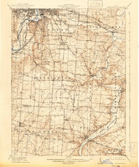
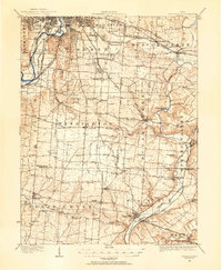
1915 Map of Waynesville
USGS Topo · Published 1942About this map
Dayton and its southeastern environs appear as a complex network of suburban expansion and rural hinterland at the time of this 1913 survey. The landscape is defined by the convergence of the Miami River and Mad River, with the Pittsburgh Cincinnati Chicago and St Louis and several electric rail lines, such as the Dayton and Xenia (Electric), knitting together settlements like Oakwood and Pasadena.
Find a feature on this map
89 named features on this map. Tap any name to fly to it.
Don’t see what you’re looking for? This feature index may not catch every label — zoom into the map to look around manually.
Map Details
Editions of this 1915 Waynesville Map
This is the sole edition of this map. No revisions or reprints were ever made.
Other maps of this area

1904 · Springfield
USGS Topo · 1:62,500
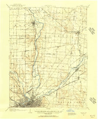
1904 · Dayton
USGS Topo · 1:62,500

1904 · Mason
USGS Topo · 1:62,500

1905 · Brookville
USGS Topo · 1:62,500
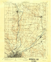
1906 · Dayton
USGS Topo · 1:62,500

1906 · Mason
USGS Topo · 1:62,500

1906 · Springfield
USGS Topo · 1:62,500

1907 · Blanchester
USGS Topo · 1:62,500

1908 · Miamisburg
USGS Topo · 1:62,500
1913 · Waynesville
USGS Topo · 1:62,500