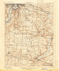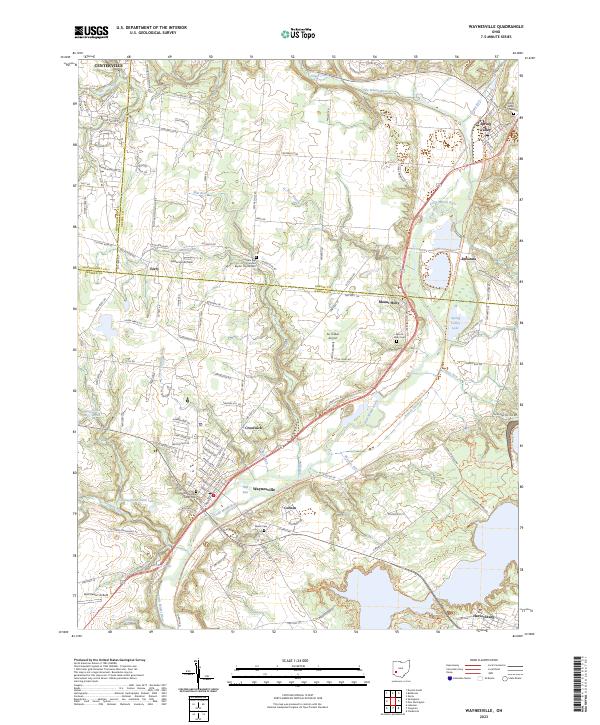
1913 Map of Waynesville
USGS Topo · Published 1913About this map
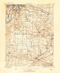
The Miami and Erie Canal runs parallel to the Miami River in the northwest, marking a landscape defined by pre-automotive transportation networks. This 1913 survey by Fred Graff, Jr. captures the complex convergence of steam and electric rail lines serving Waynesville and the surrounding townships. The Ohio Electric Ry and Dayton and Xenia Electric Ry weave between established agricultural settlements like Centerville and Springboro, illustrating the era of the interurban trolley. Beyond the rail corridors, the terrain is densely marked with numbered district schools and rural industry, such as Washington Mills on Sugar Creek. Notable local landmarks include Lebanon Junc and Alexandersville, providing a detailed look at the rural-to-urban transition of Montgomery and Warren counties before the dominance of modern highways.
Find a feature on this map
98 named features on this map. Tap any name to fly to it.
Don’t see what you’re looking for? This feature index may not catch every label — zoom into the map to look around manually.
Map Details
Editions of this 1913 Waynesville Map
This is the sole edition of this map. No revisions or reprints were ever made.
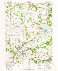
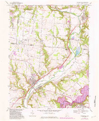
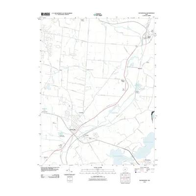
Historical Maps of Dayton Through Time
9 maps found