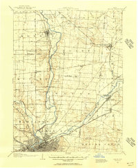
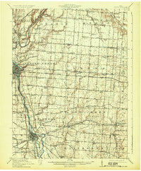
1904 Map of Dayton
USGS Topo · Published 1956About this map
The Miami and Erie Canal cuts a historic path through the heart of the Miami Valley, paralleling the Miami River and the Dayton and Troy Electric RR. This transportation corridor anchors a landscape defined by its river-driven economy and a dense network of early 20th-century traction lines and turnpikes. Notable settlements like Tipp City and New Carlisle appear alongside vanished post offices such as Browns Rex PO.
Find a feature on this map
66 named features on this map. Tap any name to fly to it.
Don’t see what you’re looking for? This feature index may not catch every label — zoom into the map to look around manually.
Map Details
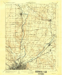
Editions of this 1904 Dayton Map
This is the sole edition of this map. No revisions or reprints were ever made.
Other maps of this area

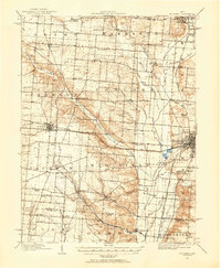
1904 · Springfield
USGS Topo · 1:62,500

1905 · Brookville
USGS Topo · 1:62,500
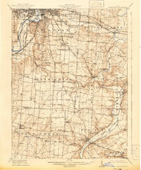
1906 · Dayton
USGS Topo · 1:62,500

1906 · Springfield
USGS Topo · 1:62,500

1908 · Miamisburg
USGS Topo · 1:62,500
1911 · Covington
USGS Topo · 1:62,500
1913 · Waynesville
USGS Topo · 1:62,500
1914 · Troy
USGS Topo · 1:62,500
1914 · St. Paris
USGS Topo · 1:62,500
1915 · Waynesville
USGS Topo · 1:62,500