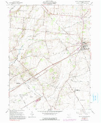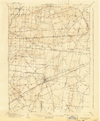
1907 Map of South Charleston
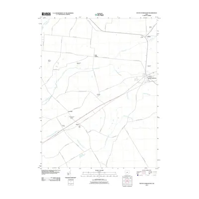
USGS Topo · Published 1943About this map
South Charleston serves as a major railway junction at the dawn of the 20th century, where the Pittsburgh Cincinnati Chicago and St Louis RR and the Ohio Electric RR intersect. This area of the Miami Valley is defined by a dense grid of rural education and worship, featuring numerous family-named institutions like Yeazel School, Newlove School, and Asbury Church. The landscape is etched by the Little Miami River and its various tributaries, including the Lisbon Fork and Beaver Creek, which influenced early road placements like the National Pike. Small, distinct communities such as Dolly Varden, Plattsburg, and Lisbon appear as they were before modern highway consolidation, offering a clear view of the Ohio countryside when local schools were still the primary community hubs for the surrounding farmsteads.
Find a feature on this map
60 named features on this map. Tap any name to fly to it.
Don’t see what you’re looking for? This feature index may not catch every label — zoom into the map to look around manually.
Map Details
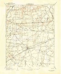
Editions of this 1907 South Charleston Map
2 editions found
Historical Maps of Springfield Through Time
7 maps found