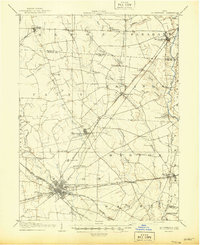
1906 Map of Mt Sterling
USGS Topo · Published 1946About this map
Washington Courthouse serves as a major transportation hub in this early twentieth-century landscape, where several rail lines like the Cincinnati Hamilton and Dayton R R and the Detroit Toledo and Ironton R R Wellston Division converge. The terrain is defined by the branching waterways of the North Fork Paint Creek and Deer Creek, supporting a network of agricultural settlements across Fayette, Madison, and Pickaway counties. Beyond the larger towns, the map documents specialized civic landmarks including the County Infirmary and the Childrens Home located just outside the county seat. Smaller post offices and hamlets such as Waterloo Pancoastburg P O and Madison Mills are connected by a dense web of rural roads, illustrating the transition from a nineteenth-century agrarian economy to a rail-connected regional center.
Find a feature on this map
55 named features on this map. Tap any name to fly to it.
Don’t see what you’re looking for? This feature index may not catch every label — zoom into the map to look around manually.
Map Details
Editions of this 1906 Mt Sterling Map
This is the sole edition of this map. No revisions or reprints were ever made.
Historical Maps of Washington Court House Through Time
13 maps found
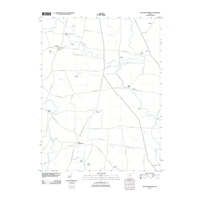
1906 Mt Sterling
Fayette County, OH
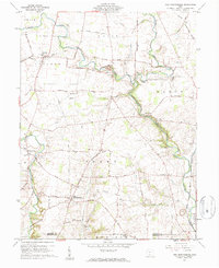
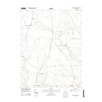
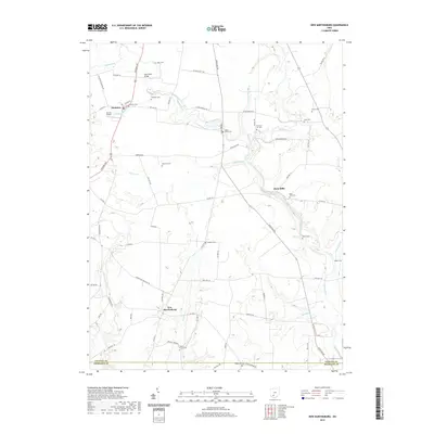
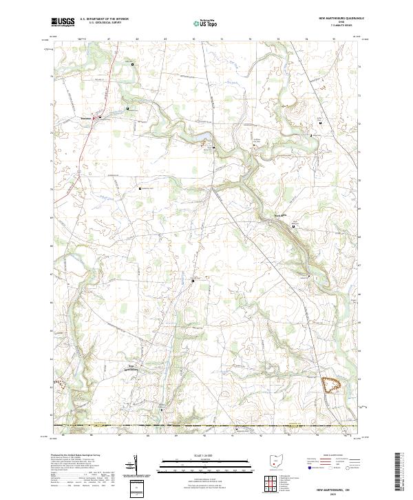
1960 New Martinsburg
Fayette County, OH
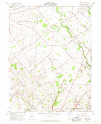
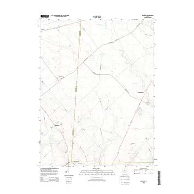
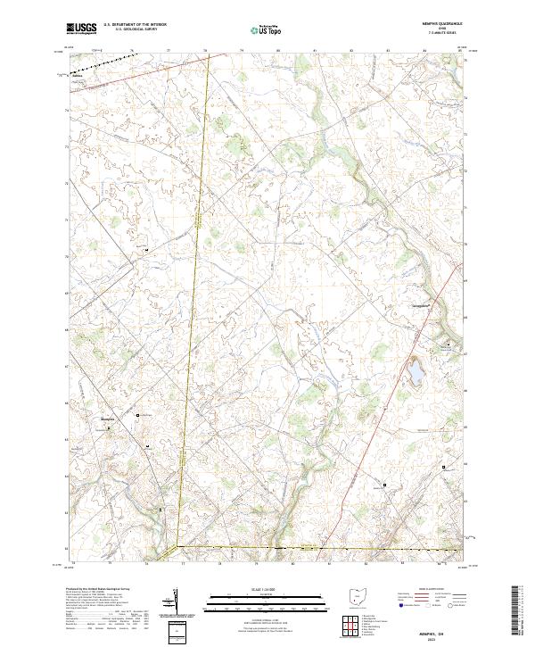
1961 Memphis
Fayette County, OH
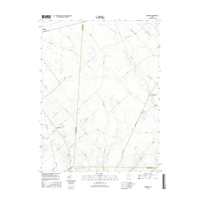
2010 Memphis
Fayette County, OH
2010 New Martinsburg
Fayette County, OH
2013 Memphis
Fayette County, OH
2013 New Martinsburg
Fayette County, OH
2016 Memphis
Fayette County, OH
2016 New Martinsburg
Fayette County, OH
2019 Memphis
Fayette County, OH
2019 New Martinsburg
Fayette County, OH
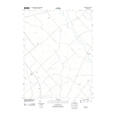
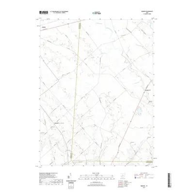
2023 Memphis
Fayette County, OH
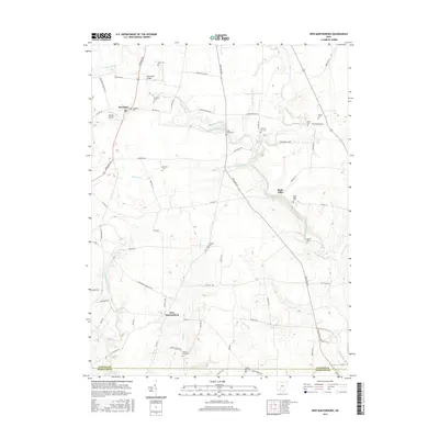
2023 New Martinsburg
Fayette County, OH
Featured Locations
- Washington Court House, OH
- Bloomingburg, OH
- Mount Sterling, Pleasant Township
- Range, Range Township
- Midway, Range Township