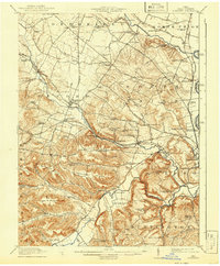
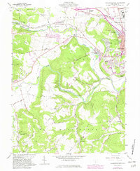
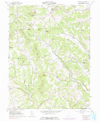
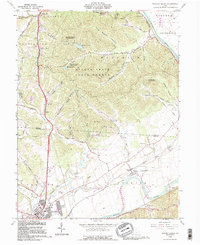
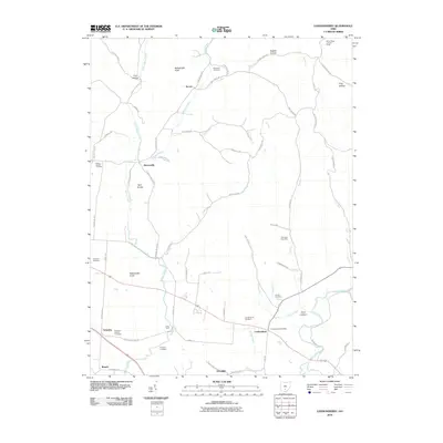
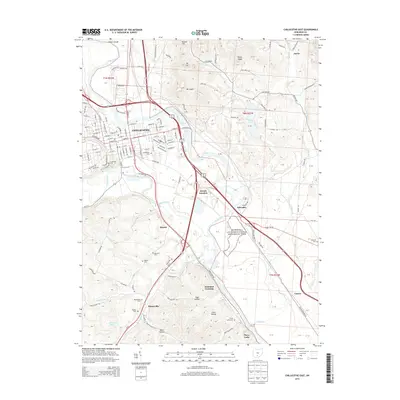
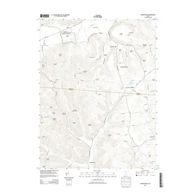
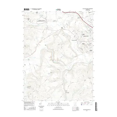
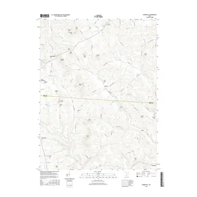
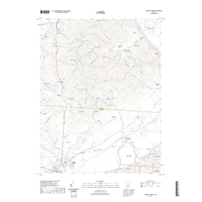
1914 Map of Roxabell
USGS Topo · Published 1942About this map
Frankfort and Bourneville anchor this Ross County landscape as it appeared before World War I, when a dense network of rural schools and family-named ridges defined the social geography. The map illustrates a transitional period for regional transport, showing the Cincinnati Hamilton and Dayton RR and the Baltimore and Ohio RR intersecting at Musselman and Roxabell. Prehistoric landmarks such as the Mound City Group National Monument and an Indian Mound near Deer Creek sit alongside early 20th-century infrastructure.
Find a feature on this map
96 named features on this map. Tap any name to fly to it.
Don’t see what you’re looking for? This feature index may not catch every label — zoom into the map to look around manually.
Map Details
Editions of this 1914 Roxabell Map
This is the sole edition of this map. No revisions or reprints were ever made.
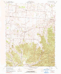
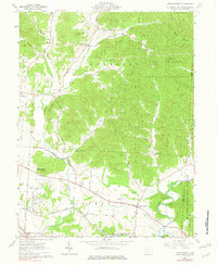
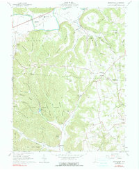
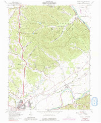
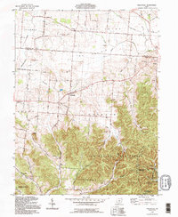
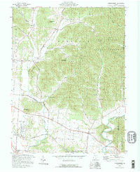
Historical Maps of Chillicothe Through Time
48 maps found
1912 Roxabell
Ross County, OH
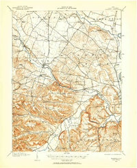
1914 Roxabell
Ross County, OH
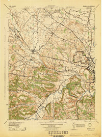
1944 Roxabell
Ross County, OH
1961 Chillicothe East
Ross County, OH
1961 Chillicothe West
Ross County, OH
1961 Hallsville
Ross County, OH
1961 Londonderry
Ross County, OH
1961 Morgantown
Ross County, OH
1961 Summithill
Ross County, OH
1961 Waverly North
Ross County, OH
1992 Hallsville
Ross County, OH
1992 Londonderry
Ross County, OH
1992 Waverly North
Ross County, OH
2010 Chillicothe East
Ross County, OH
2010 Chillicothe West
Ross County, OH
2010 Hallsville
Ross County, OH
2010 Londonderry
Ross County, OH
2010 Morgantown
Ross County, OH
2010 Summithill
Ross County, OH
2010 Waverly North
Ross County, OH
2013 Chillicothe East
Ross County, OH
2013 Chillicothe West
Ross County, OH
2013 Hallsville
Ross County, OH
2013 Londonderry
Ross County, OH
2013 Morgantown
Ross County, OH
2013 Summithill
Ross County, OH
2013 Waverly North
Ross County, OH
2016 Chillicothe East
Ross County, OH
2016 Chillicothe West
Ross County, OH
2016 Hallsville
Ross County, OH
2016 Londonderry
Ross County, OH
2016 Morgantown
Ross County, OH
2016 Summithill
Ross County, OH
2016 Waverly North
Ross County, OH
2019 Chillicothe East
Ross County, OH
2019 Chillicothe West
Ross County, OH
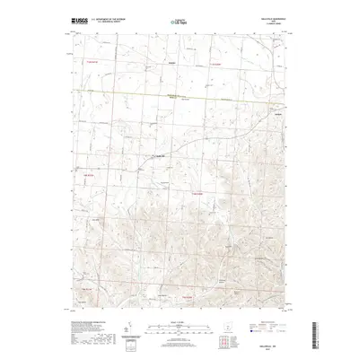
2019 Hallsville
Ross County, OH
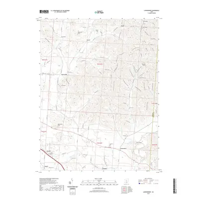
2019 Londonderry
Ross County, OH
2019 Morgantown
Ross County, OH
2019 Summithill
Ross County, OH
2019 Waverly North
Ross County, OH
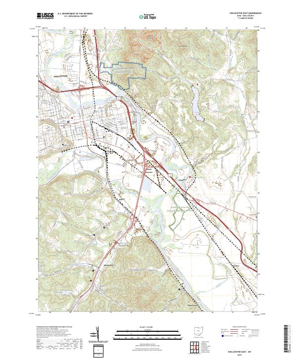
2023 Chillicothe East
Ross County, OH
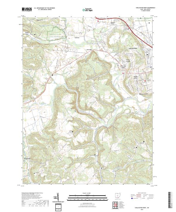
2023 Chillicothe West
Ross County, OH
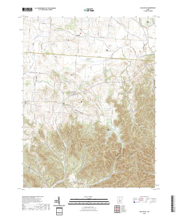
2023 Hallsville
Ross County, OH
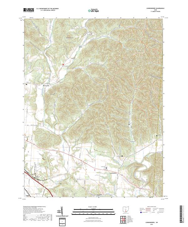
2023 Londonderry
Ross County, OH
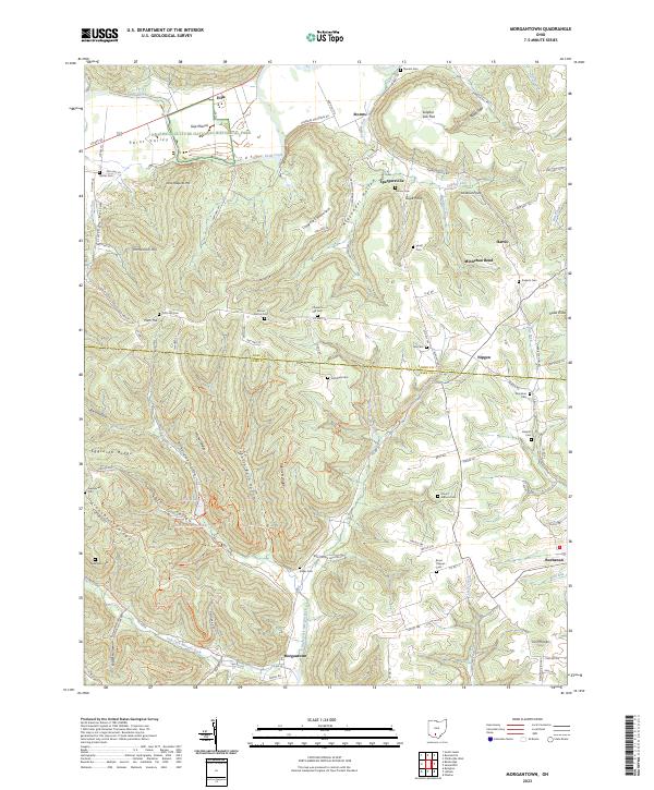
2023 Morgantown
Ross County, OH
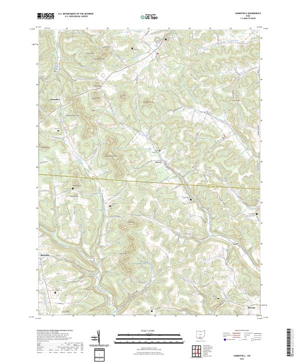
2023 Summithill
Ross County, OH
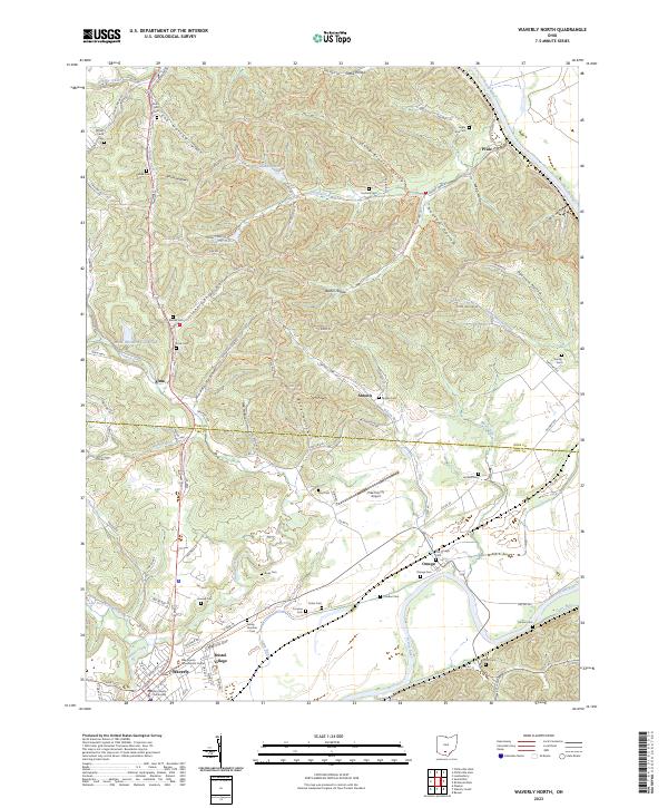
2023 Waverly North
Ross County, OH