
Loading...
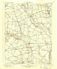
Loading map...1911 Map of Era
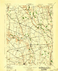
USGS Topo · Published 1952About this map
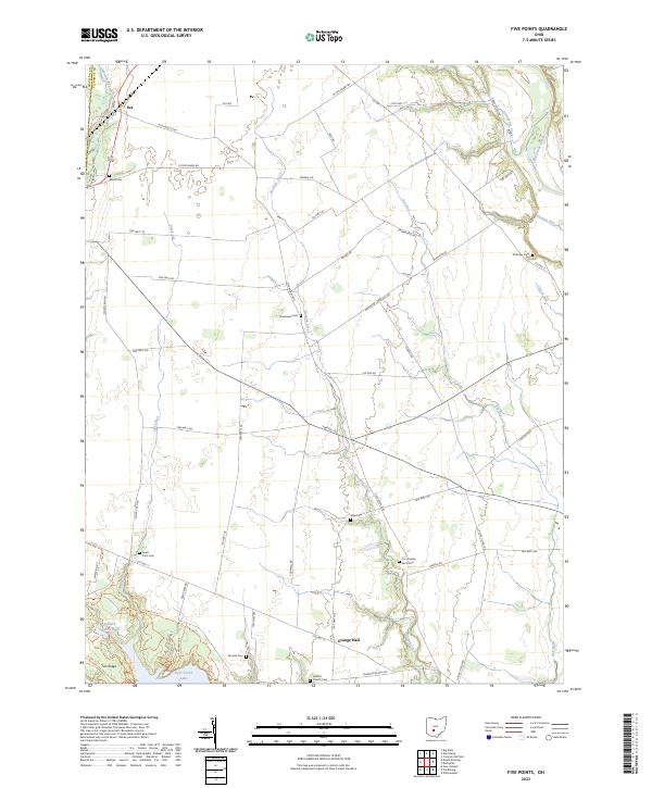
Darby Creek and Deer Creek dominate the landscape of rural Pickaway County in the early twentieth century, defining a territory of established farmsteads and rural school districts. The village of Williamsport serves as a local hub, supported by the Cincinnati and Muskingum Valley RR and the nearby Williamsport Sta.. To the north, Darbyville sits along the banks of its namesake creek, while the southern boundary near Clarksburg touches the Ross Co line.
Find a feature on this map
111 named features on this map. Tap any name to fly to it.
Don’t see what you’re looking for? This feature index may not catch every label — zoom into the map to look around manually.
Map Details
Date Portrayed1911
Date Published1952
PublisherU.S. Geological Survey
Map TypeTopographic
Scale1:62,500
Physical Dimensions17.1 x 20.8 inches
Editions of this 1911 Era Map
This is the sole edition of this map. No revisions or reprints were ever made.
Historical Maps of South Bloomfield Through Time
9 maps found
Featured Locations
Source Details
SourceU.S. Geological Survey
CopyrightPublic Domain