
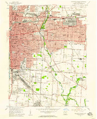
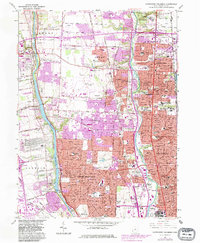
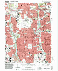
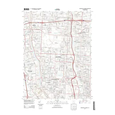
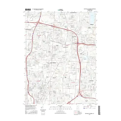
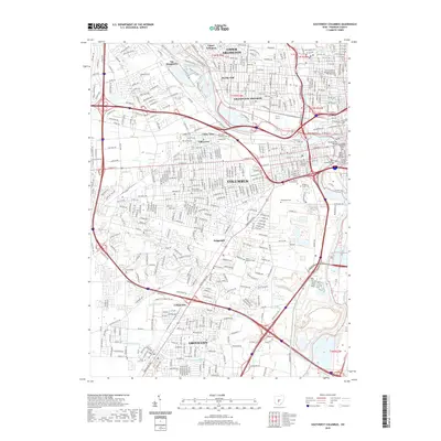
1923 Map of West Columbus
USGS Topo · Published 1955About this map
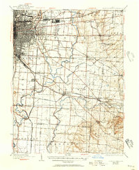
The Scioto River and Big Darby Creek carve parallel courses through this 1920s landscape, framing the westward expansion of Columbus and its surrounding townships. Large institutional grounds dominate the urban fringe, including the massive State Hospital, the Institute for Feebleminded, and the sprawling Greenlawn Cemetery near the river bend. The transit network of the era is remarkably dense, showing the Pennsylvania RR and the Cleveland Cincinnati Chicago and St Louis Ry intersecting with the historic National Road. Local history is preserved in rural cornerstones such as Pisgah School, the Miller School, and the Barbee School. Beyond the city, small crossroads like Galloway, Pleasant Corners, and Urbancrest appear as distinct agricultural and residential hubs before later suburban infill reached these townships.
Find a feature on this map
76 named features on this map. Tap any name to fly to it.
Don’t see what you’re looking for? This feature index may not catch every label — zoom into the map to look around manually.
Map Details
Editions of this 1923 West Columbus Map
This is the sole edition of this map. No revisions or reprints were ever made.
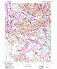
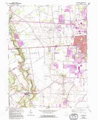
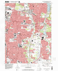
Historical Maps of Columbus Through Time
41 maps found
1923 West Columbus
Franklin County, OH
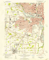
1925 East Columbus
Franklin County, OH

1925 West Columbus
Franklin County, OH

1943 East Columbus
Franklin County, OH
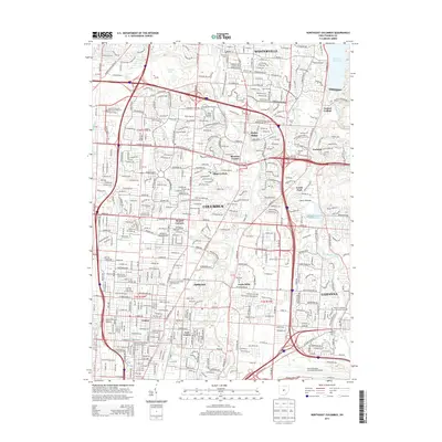
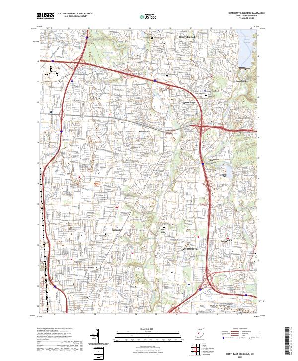
1954 Northeast Columbus
Franklin County, OH
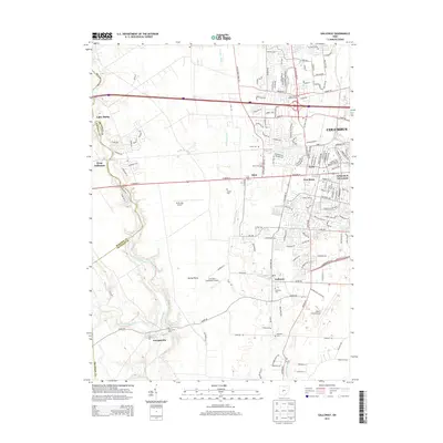
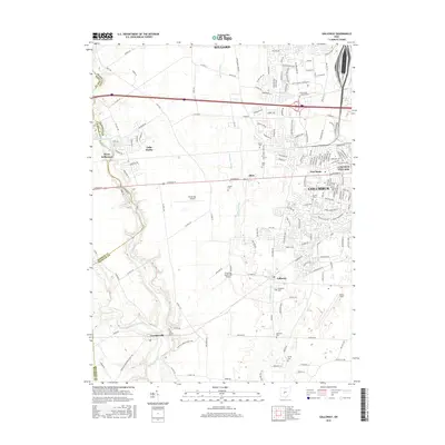
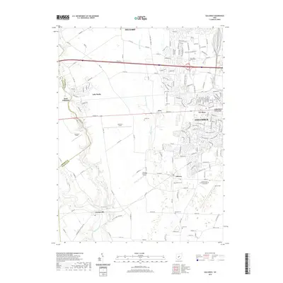
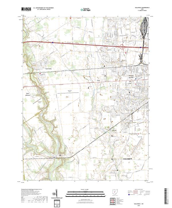
1955 Galloway
Franklin County, OH
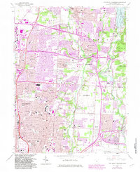
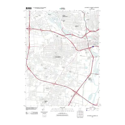
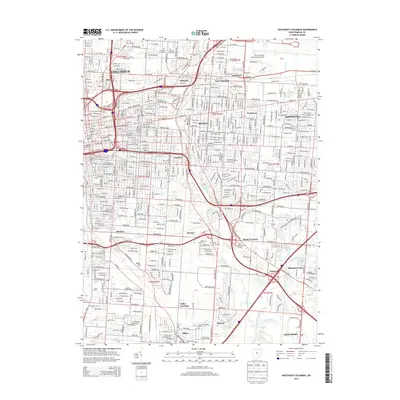
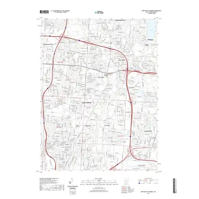
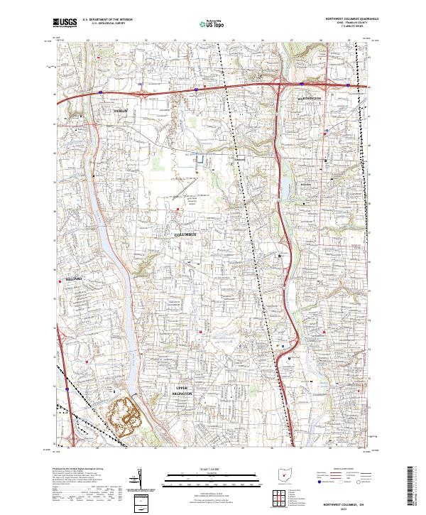
1955 Northwest Columbus
Franklin County, OH
1955 Southeast Columbus
Franklin County, OH
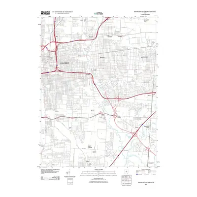
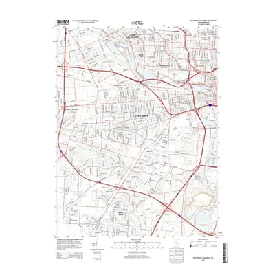
1955 Southwest Columbus
Franklin County, OH
1964 Northeast Columbus
Franklin County, OH
1964 Southeast Columbus
Franklin County, OH
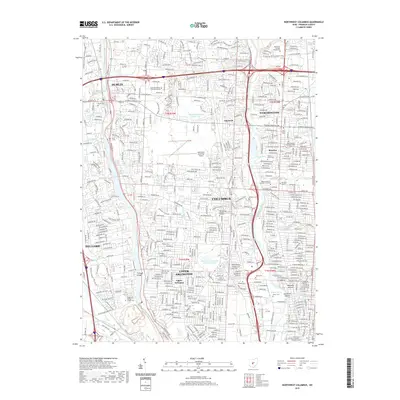
1965 Northwest Columbus
Franklin County, OH
1965 Southwest Columbus
Franklin County, OH
1966 Galloway
Franklin County, OH
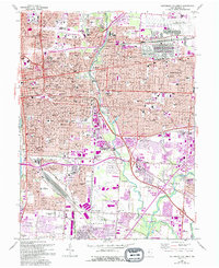
1995 Northeast Columbus
Franklin County, OH
1995 Northwest Columbus
Franklin County, OH
2010 Galloway
Franklin County, OH
2010 Northeast Columbus
Franklin County, OH
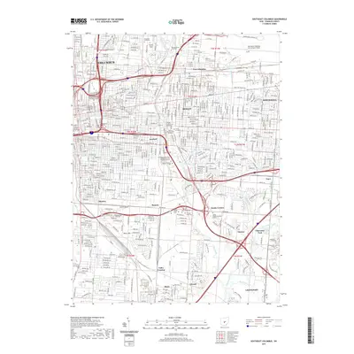
2010 Northwest Columbus
Franklin County, OH
2010 Southeast Columbus
Franklin County, OH
2010 Southwest Columbus
Franklin County, OH
2013 Galloway
Franklin County, OH
2013 Northeast Columbus
Franklin County, OH
2013 Northwest Columbus
Franklin County, OH
2013 Southeast Columbus
Franklin County, OH
2013 Southwest Columbus
Franklin County, OH
2016 Galloway
Franklin County, OH
2016 Northeast Columbus
Franklin County, OH
2016 Northwest Columbus
Franklin County, OH
2016 Southeast Columbus
Franklin County, OH
2016 Southwest Columbus
Franklin County, OH
2019 Galloway
Franklin County, OH
2019 Northeast Columbus
Franklin County, OH
2019 Northwest Columbus
Franklin County, OH
2019 Southeast Columbus
Franklin County, OH
2019 Southwest Columbus
Franklin County, OH
2023 Galloway
Franklin County, OH
2023 Northeast Columbus
Franklin County, OH
2023 Northwest Columbus
Franklin County, OH
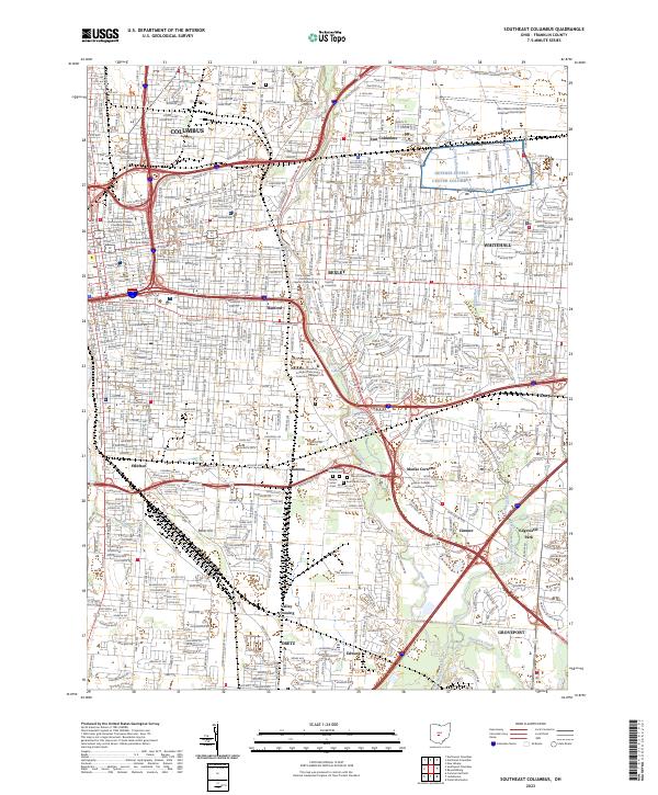
2023 Southeast Columbus
Franklin County, OH
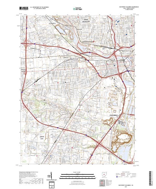
2023 Southwest Columbus
Franklin County, OH
Featured Locations
- Columbus, OH
- Grandview Heights, OH
- Upper Arlington, OH
- Grove City, Jackson Township
- Hilliard, Norwich Township