Loading...
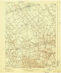
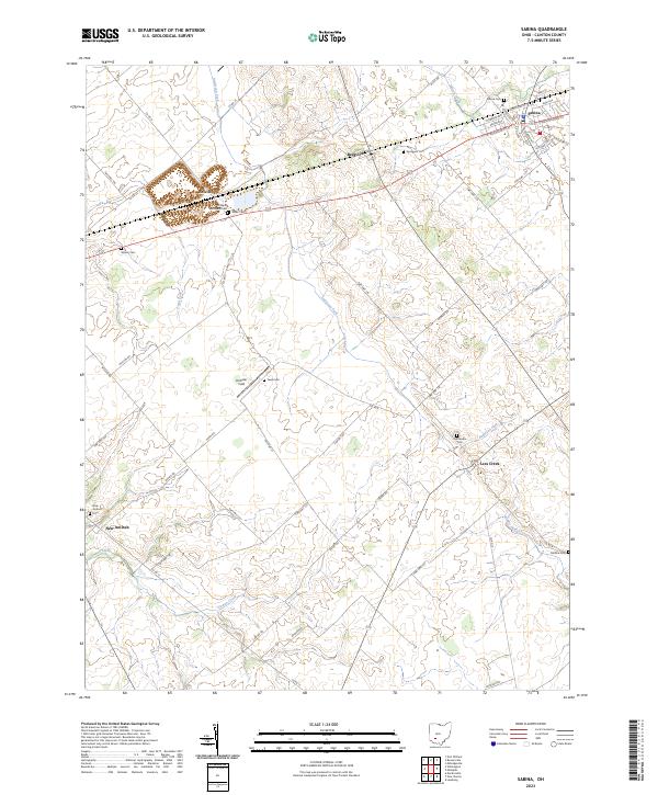
Loading map...1917 Map of Sabina
USGS Topo · Published 1943About this map
The B & O SW Pennsylvania and Baltimore and Ohio railroads anchor the local economy across this pocket of southwestern Ohio, where small market towns grew along the iron rails. Sabina and New Vienna serve as primary hubs, connected by a network of early thoroughfares like Washington Courthouse Road and Snow Hill Road. The landscape is defined by the headwaters of the E. Fk. Little Miami River and the winding course of Rattlesnake Creek, with terrain rising toward Snow Hill.
Find a feature on this map
80 named features on this map. Tap any name to fly to it.
Don’t see what you’re looking for? This feature index may not catch every label — zoom into the map to look around manually.
Map Details
Date Portrayed1917
Date Published1943
PublisherU.S. Geological Survey
Map TypeTopographic
Scale1:62,500
Physical Dimensions16.5 x 19.9 inches
Editions of this 1917 Sabina Map
This is the sole edition of this map. No revisions or reprints were ever made.
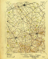
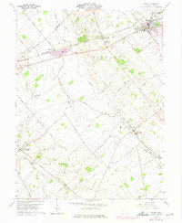
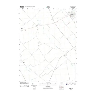
Historical Maps of Sabina Through Time
8 maps found
Featured Locations
Source Details
SourceU.S. Geological Survey
CopyrightPublic Domain