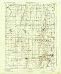
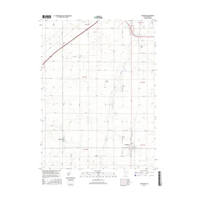
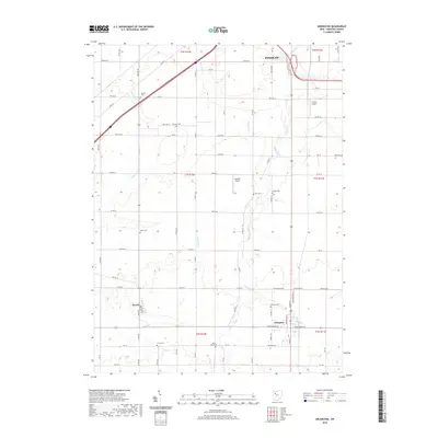
1905 Map of Arlington
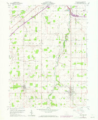
USGS Topo · Published 1961About this map
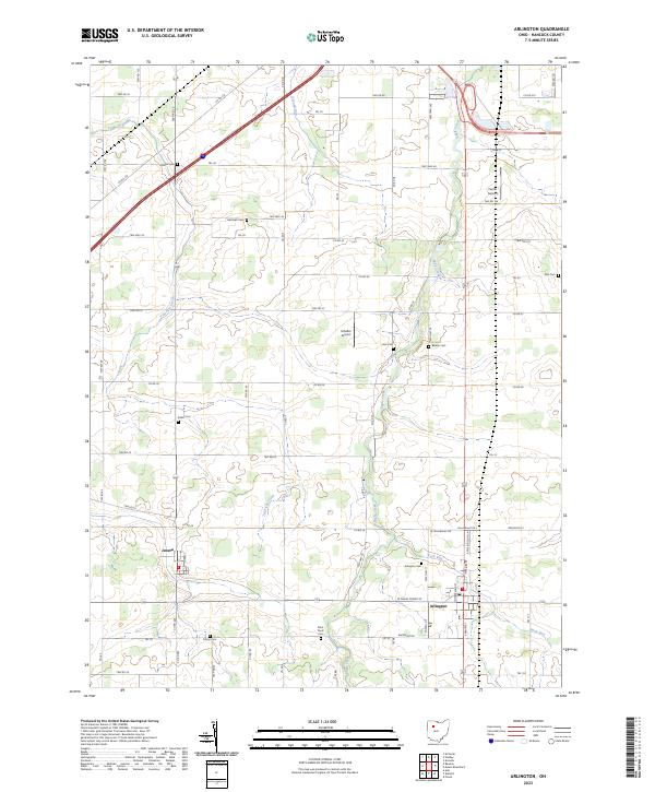
The Blanchard River and its numerous tributaries, such as Ottawa Creek and Eagle Creek, carve through this section of Northwest Ohio, defining a landscape dominated by agriculture and burgeoning rail junctions. At the dawn of the twentieth century, several competing railroads, including the Northern Ohio RR and the Ohio Central Lines, intersected at Arlington, while the Pennsylvania System and Toledo and Ohio Central RR crossed at Dunkirk. These transit hubs supported small agricultural villages and industrial sites like the Quarry near Dunkirk.
Find a feature on this map
64 named features on this map. Tap any name to fly to it.
Don’t see what you’re looking for? This feature index may not catch every label — zoom into the map to look around manually.
Map Details
Editions of this 1905 Arlington Map
This is the sole edition of this map. No revisions or reprints were ever made.
Historical Maps of Findlay Through Time
8 maps found