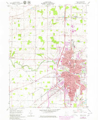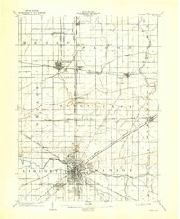
1903 Map of Findlay
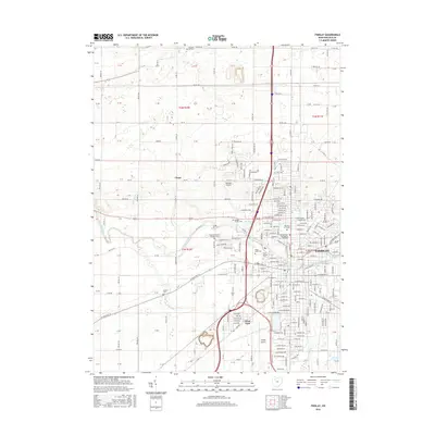
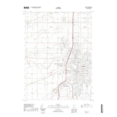
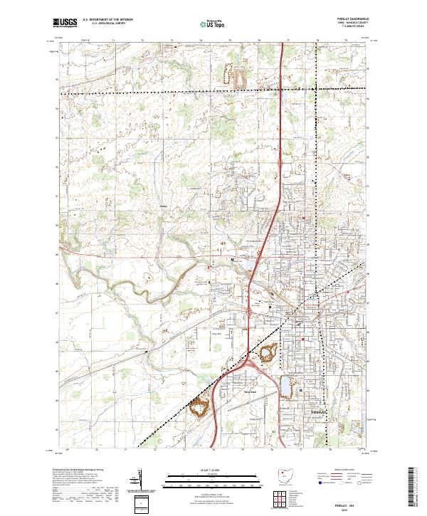
USGS Topo · Published 1939About this map
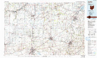
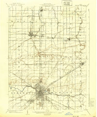
The Findlay city center serves as the dense heart of this Northwest Ohio region, where the Blanchard River meets a complex web of industrial transport. Surveyed at the dawn of the twentieth century, the map reveals a landscape defined by the intersection of numerous competing railroads, including the Lake Erie and Western R. R. and the Cincinnati Hamilton and Dayton R. R. To the north, the rise of the regional oil boom is evident in the naming of Oil Center and the village of Cygnet. Small agricultural and rail stops like Mortimer, Galatea, and Bairdstown dot the wood and stone-fenced sections between North Baltimore and Bloomdale. Notable water features like The Outlet and Rocky Ford delineate the drainage patterns of the flat, productive plains of Wood and Hancock Counties.
Find a feature on this map
35 named features on this map. Tap any name to fly to it.
Don’t see what you’re looking for? This feature index may not catch every label — zoom into the map to look around manually.
Map Details
Editions of this 1903 Findlay Map
2 editions found
Historical Maps of Findlay Through Time
8 maps found