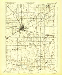
1901 Map of Fostoria
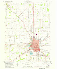
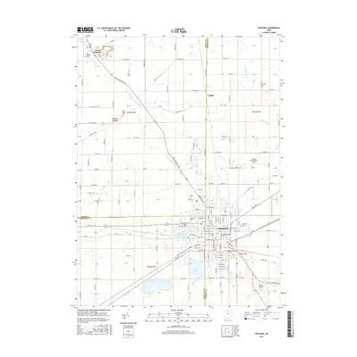
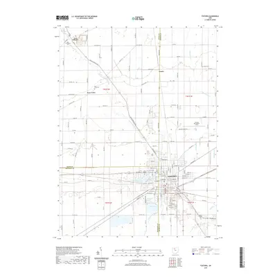
USGS Topo · Published 1958About this map
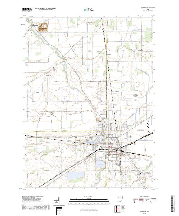
Fostoria serves as a major transportation hub at the beginning of the twentieth century, where the borders of Wood, Hancock, and Seneca counties converge. The town's significance as a rail center is evident from the concentration of lines radiating in every direction, including the Baltimore and Ohio, New York Chicago and St Louis, and the Lake Erie and Western. These tracks cut through a predominantly agricultural landscape organized into townships like Loudon, Hopewell, and Washington.
Find a feature on this map
40 named features on this map. Tap any name to fly to it.
Don’t see what you’re looking for? This feature index may not catch every label — zoom into the map to look around manually.
Map Details
Editions of this 1901 Fostoria Map
This is the sole edition of this map. No revisions or reprints were ever made.
Historical Maps of Fostoria Through Time
8 maps found