Loading...
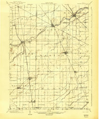
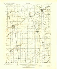
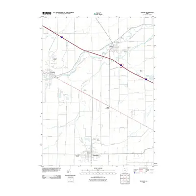
Loading map...1903 Map of Elmore
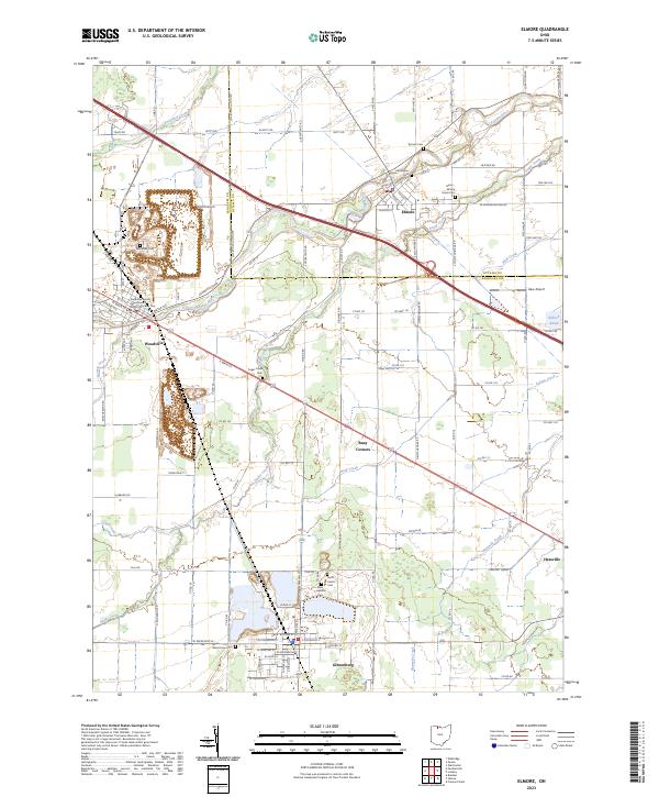
USGS Topo · Published 1943About this map
The Portage River carves a diagonal path through this northwest Ohio landscape, serving as the geographic anchor for bustling early-century railway hubs. Surveyed at the start of the 1900s, the map reveals a dense network of steam and electric lines, including the Lake Shore and Michigan Southern R.R. and the Toledo Fostoria and Findlay Electric Ry., which connect agricultural centers like Pemberville and Woodville.
Find a feature on this map
47 named features on this map. Tap any name to fly to it.
Don’t see what you’re looking for? This feature index may not catch every label — zoom into the map to look around manually.
Map Details
Date Portrayed1903
Date Published1943
PublisherU.S. Geological Survey
Map TypeTopographic
Scale1:62,500
Physical Dimensions16.5 x 19.9 inches
Editions of this 1903 Elmore Map
This is the sole edition of this map. No revisions or reprints were ever made.
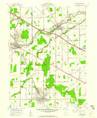
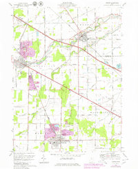
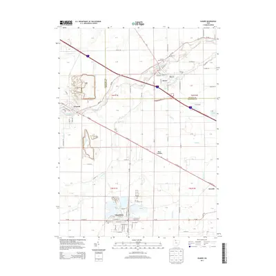
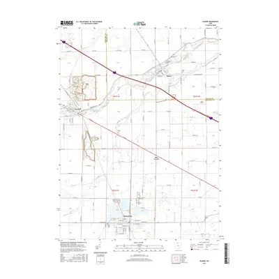
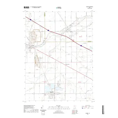
Historical Maps of Gibsonburg Through Time
9 maps found
Featured Locations
Source Details
SourceU.S. Geological Survey
CopyrightPublic Domain