Loading...
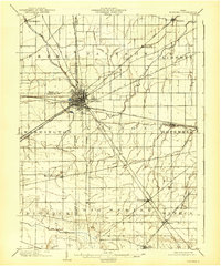
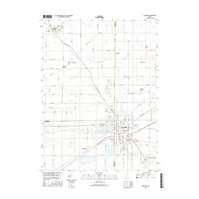
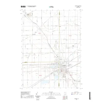
Loading map...1903 Map of Fostoria
USGS Topo · Published 1939About this map
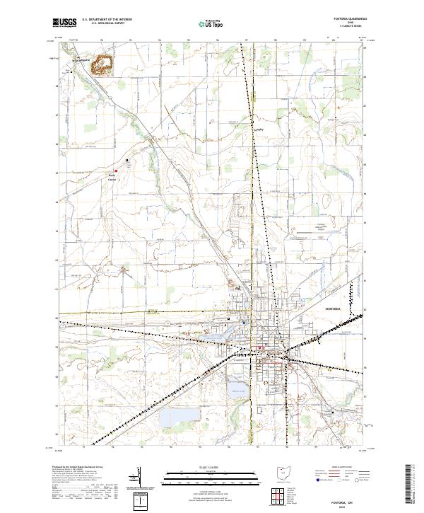
Fostoria serves as the focal point for this turn-of-the-century landscape, appearing as a dense hub where seven different rail lines converge at the corner of Wood, Hancock, and Seneca counties. This incredible concentration of transportation infrastructure, including the Baltimore and Ohio RR and the Lake Erie and Western RR, underscores the city's role as a vital industrial junction during Ohio's manufacturing boom.
Find a feature on this map
39 named features on this map. Tap any name to fly to it.
Don’t see what you’re looking for? This feature index may not catch every label — zoom into the map to look around manually.
Map Details
Date Portrayed1903
Date Published1939
PublisherU.S. Geological Survey
Map TypeTopographic
Scale1:62,500
Physical Dimensions16.5 x 19.9 inches
Editions of this 1903 Fostoria Map
This is the sole edition of this map. No revisions or reprints were ever made.
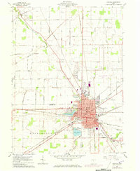
Historical Maps of Fostoria Through Time
8 maps found

Featured Locations
Source Details
SourceU.S. Geological Survey
CopyrightPublic Domain