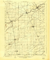
1901 Map of Elmore
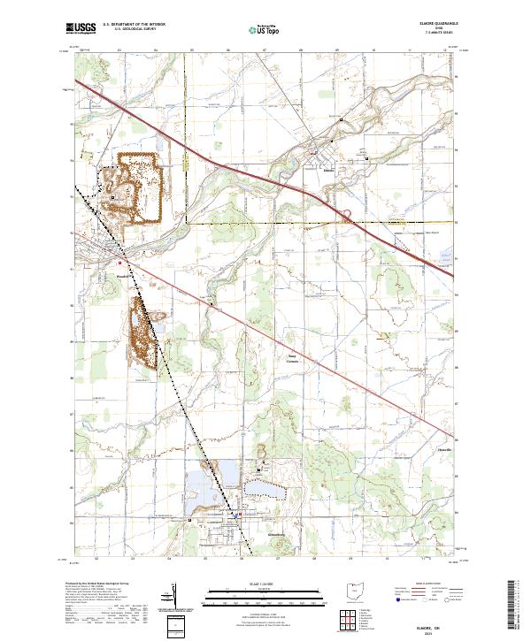
USGS Topo · Published 1961About this map
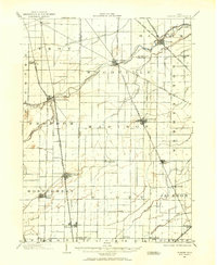
The Portage River winds through Northwest Ohio, anchoring a landscape of agricultural townships and bustling railroad junctions at the turn of the century. Large towns like Woodville and Gibsonburg emerge as central hubs, while smaller rail-dependent settlements such as Luckey and Pemberville define the rural interior. The territory is crisscrossed by an extensive transportation network, featuring the Lake Shore Electric Railway and the Lake Shore and Michigan Southern R.R., which facilitated the movement of people and goods across county lines.
Find a feature on this map
48 named features on this map. Tap any name to fly to it.
Don’t see what you’re looking for? This feature index may not catch every label — zoom into the map to look around manually.
Map Details
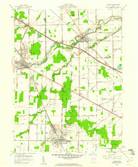
Editions of this 1901 Elmore Map
This is the sole edition of this map. No revisions or reprints were ever made.
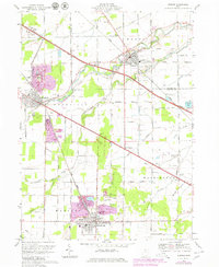
Historical Maps of Gibsonburg Through Time
9 maps found