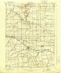
1915 Map of La Rue
USGS Topo · Published 1944About this map
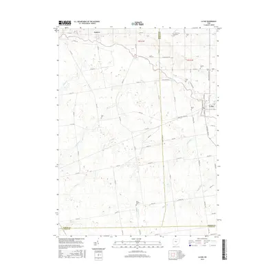
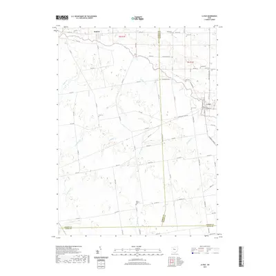
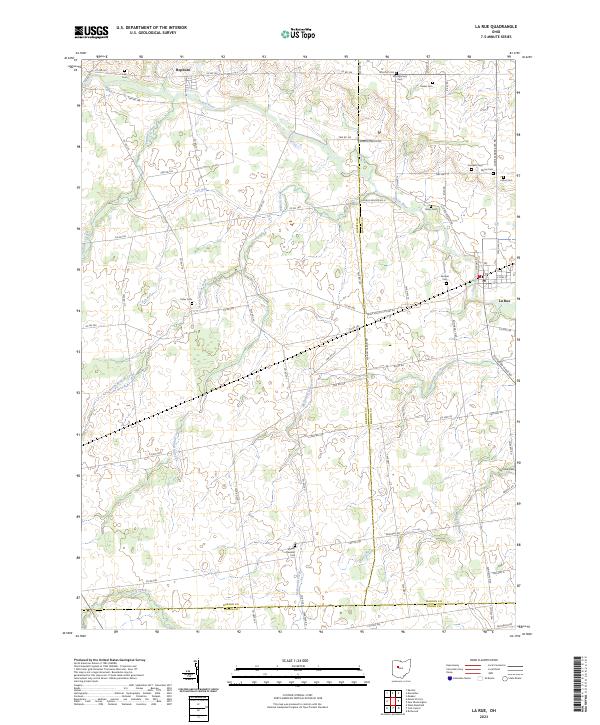
The Scioto River winds through this central Ohio landscape, serving as a primary corridor for early 20th-century commerce and settlement. Near the river's southern bend, the village of La Rue stands as a focal point, situated at the crossroads of the Cincinnati and Virginia Railroad and the Erie Railroad. This junction, along with the nearby Agosta and Decliff, illustrates the heavy reliance on rail networks to move agricultural goods from the surrounding townships of Montgomery and Dudley.
Find a feature on this map
104 named features on this map. Tap any name to fly to it.
Don’t see what you’re looking for? This feature index may not catch every label — zoom into the map to look around manually.
Map Details
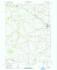
Editions of this 1915 La Rue Map
This is the sole edition of this map. No revisions or reprints were ever made.
Historical Maps of La Rue Through Time
7 maps found
Featured Locations
- Grand Township, OH
- Marseilles, Marseilles Township
- La Rue, Montgomery Township
- New Bloomington, Montgomery Township
- Harpster, Pitt Township