
1915 Map of Shauck
USGS Topo · Published 1946About this map
The Baltimore and Ohio railroad corridor anchors this agricultural region of Richland and Morrow Counties, connecting the major hubs of Lexington and Bellville. The landscape is defined by the headwaters of the Clear Fork Ohio River and Cedar Fork, which carve through the terrain near landmarks like Schweitzer Hill. This early twentieth-century survey captures a high density of rural infrastructure, including dozens of numbered and named local schools such as Jugs School, Half Acre School, and Burgener School.
Find a feature on this map
81 named features on this map. Tap any name to fly to it.
Don’t see what you’re looking for? This feature index may not catch every label — zoom into the map to look around manually.
Map Details
Editions of this 1915 Shauck Map
This is the sole edition of this map. No revisions or reprints were ever made.
Historical Maps of Mansfield Through Time
26 maps found
1915 Shauck
Richland County, OH

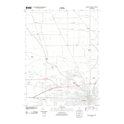
1943 Shauck
Richland County, OH
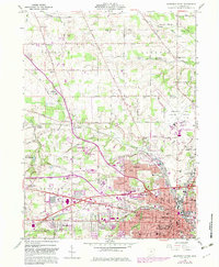
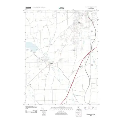
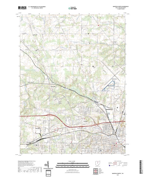
1960 Mansfield North
Richland County, OH
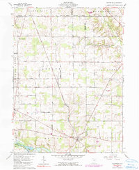
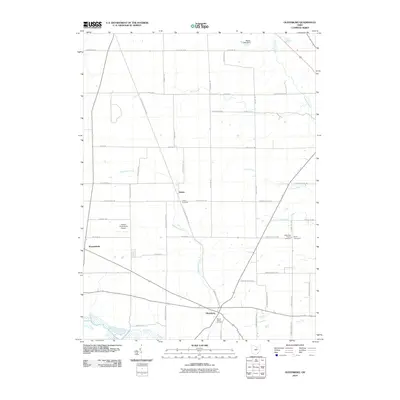
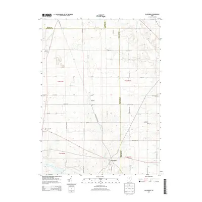
1960 Olivesburg
Richland County, OH
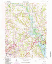
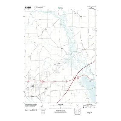
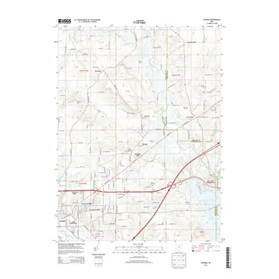
1960 Pavonia
Richland County, OH
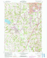
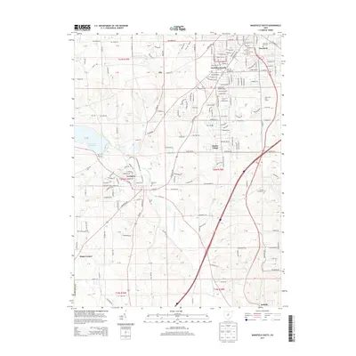
1961 Mansfield South
Richland County, OH
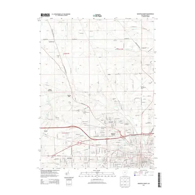
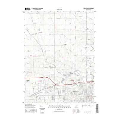
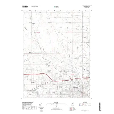
2010 Mansfield North
Richland County, OH
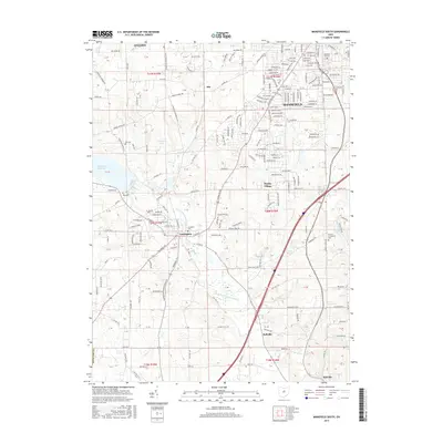
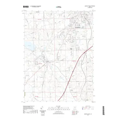
2010 Mansfield South
Richland County, OH
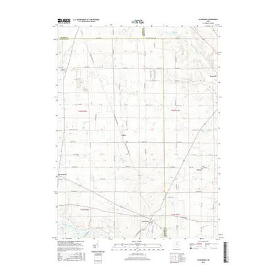
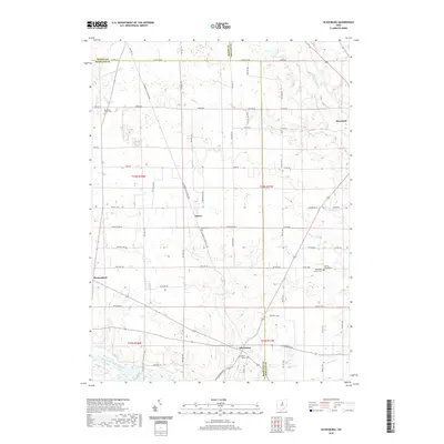
2010 Olivesburg
Richland County, OH
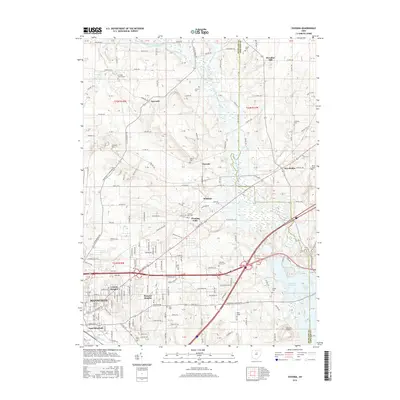
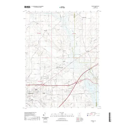
2010 Pavonia
Richland County, OH
2013 Mansfield North
Richland County, OH
2013 Mansfield South
Richland County, OH
2013 Olivesburg
Richland County, OH
2013 Pavonia
Richland County, OH
2016 Mansfield North
Richland County, OH
2016 Mansfield South
Richland County, OH
2016 Olivesburg
Richland County, OH
2016 Pavonia
Richland County, OH
2019 Mansfield North
Richland County, OH
2019 Mansfield South
Richland County, OH
2019 Olivesburg
Richland County, OH
2019 Pavonia
Richland County, OH
2023 Mansfield North
Richland County, OH

2023 Mansfield South
Richland County, OH
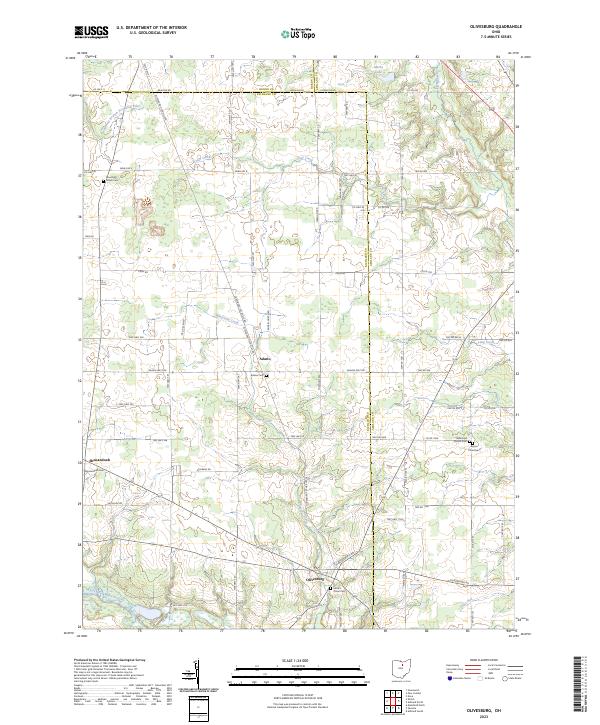
2023 Olivesburg
Richland County, OH
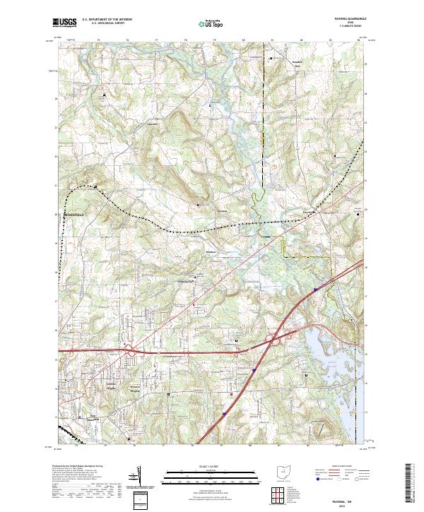
2023 Pavonia
Richland County, OH