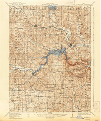
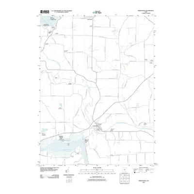
1915 Map of Perrysville
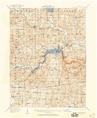
USGS Topo · Published 1944About this map
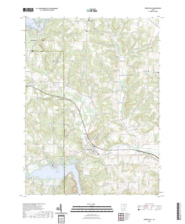
The Mohican River and its major tributaries, the Black Fork and Clear Fork, dictate the geography of this central Ohio landscape during the early twentieth century. A prominent historical boundary, the Treaty 1795 Line, cuts across the lower third of the region, marking the Greenville Treaty line that once separated indigenous lands from the Northwest Territory. The man-made Charles Mill Reservoir dominates the northern reaches, while the valley terrain is defined by steep hollows like Wildcat Hollow and Possum Hollow.
Find a feature on this map
89 named features on this map. Tap any name to fly to it.
Don’t see what you’re looking for? This feature index may not catch every label — zoom into the map to look around manually.
Map Details
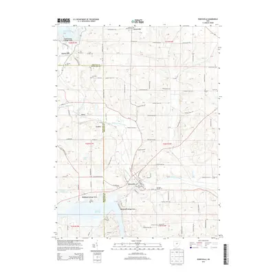
Editions of this 1915 Perrysville Map
This is the sole edition of this map. No revisions or reprints were ever made.
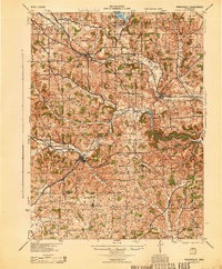
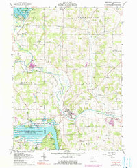
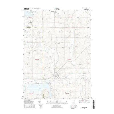
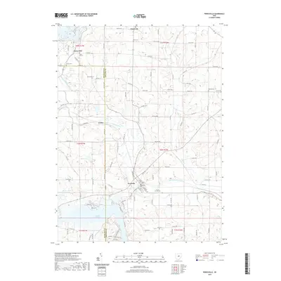
Historical Maps of Mansfield Through Time
9 maps found
1912 Perrysville
Ashland County, OH
1915 Perrysville
Ashland County, OH
1944 Perrysville
Ashland County, OH
1961 Perrysville
Ashland County, OH
2010 Perrysville
Ashland County, OH
2013 Perrysville
Ashland County, OH
2016 Perrysville
Ashland County, OH
2019 Perrysville
Ashland County, OH
2023 Perrysville
Ashland County, OH