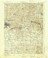
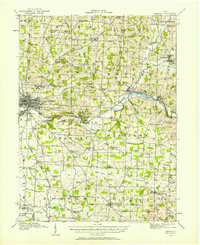
1914 Map of Gambier
USGS Topo · Published 1942About this map
Mount Vernon serves as the primary hub of this Knox County survey, showing the city's early 20th-century footprint where the Baltimore and Ohio RR and the Pennsylvania System intersect. Just east, the academic community of Gambier is centered around Kenyon College, while the expansive grounds of the State Tuberculosis Hospital occupy the heights to the north.
Find a feature on this map
94 named features on this map. Tap any name to fly to it.
Don’t see what you’re looking for? This feature index may not catch every label — zoom into the map to look around manually.
Map Details
Editions of this 1914 Gambier Map
This is the sole edition of this map. No revisions or reprints were ever made.
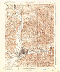
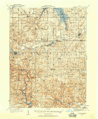
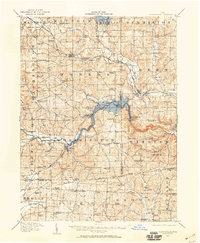
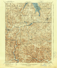
Other maps of this area
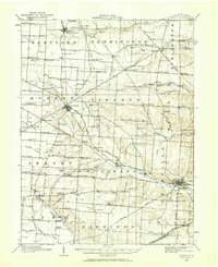
1908 · Granville
USGS Topo · 1:62,500
1909 · Newark
USGS Topo · 1:62,500

1910 · Frazeysburg
USGS Topo · 1:62,500

1910 · Granville
USGS Topo · 1:62,500
1912 · Loudonville
USGS Topo · 1:62,500
1912 · Gambier
USGS Topo · 1:62,500
1912 · Perrysville
USGS Topo · 1:62,500

1913 · Brinkhaven
USGS Topo · 1:62,500
1914 · Loudonville
USGS Topo · 1:62,500
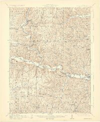
1915 · Brinkhaven
USGS Topo · 1:62,500
Featured Places
- Mount Vernon, OH
- Howard, Howard Township
- Gambier, College Township
- Danville, Union Township
- Martinsburg, Clay Township