
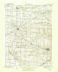
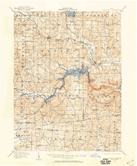
1912 Map of Gambier
USGS Topo · Published 1961About this map
Kenyon College serves as the intellectual and physical anchor of Gambier, where the Pennsylvania System railroad follows the winding Kokosing River through the heart of Knox County. This 1912 survey captures a landscape of small, self-contained townships defined by a dense network of local institutions, including the State Tuberculosis Hospital situated north of Mount Vernon. The terrain is marked by dozens of neighborhood schools such as Cherry Hall School and Locust Grove School, indicating a period when rural education was localized to the district level.
Find a feature on this map
99 named features on this map. Tap any name to fly to it.
Don’t see what you’re looking for? This feature index may not catch every label — zoom into the map to look around manually.
Map Details
Editions of this 1912 Gambier Map
2 editions found
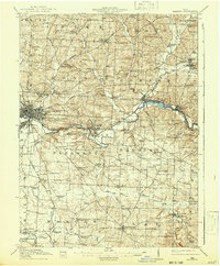
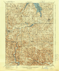
Other maps of this area
1908 · Granville
USGS Topo · 1:62,500
1909 · Newark
USGS Topo · 1:62,500

1910 · Frazeysburg
USGS Topo · 1:62,500

1910 · Granville
USGS Topo · 1:62,500
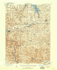
1912 · Loudonville
USGS Topo · 1:62,500
1912 · Gambier
USGS Topo · 1:62,500
1912 · Perrysville
USGS Topo · 1:62,500

1913 · Brinkhaven
USGS Topo · 1:62,500
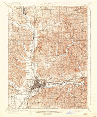
1914 · Gambier
USGS Topo · 1:62,500
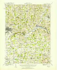
1914 · Loudonville
USGS Topo · 1:62,500
Featured Places
- Mount Vernon, OH
- Howard, Howard Township
- Gambier, College Township
- Danville, Union Township
- Martinsburg, Clay Township