Loading...
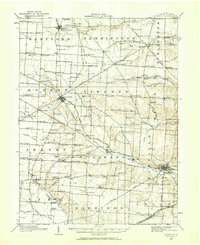
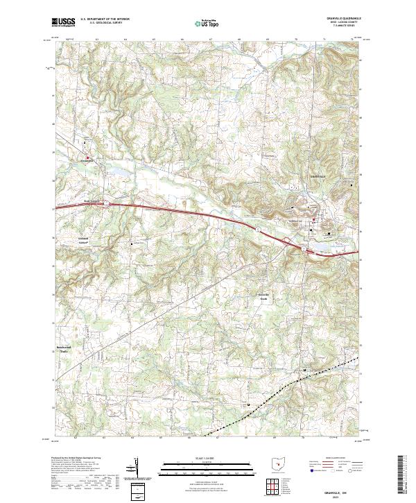
Loading map...1908 Map of Granville
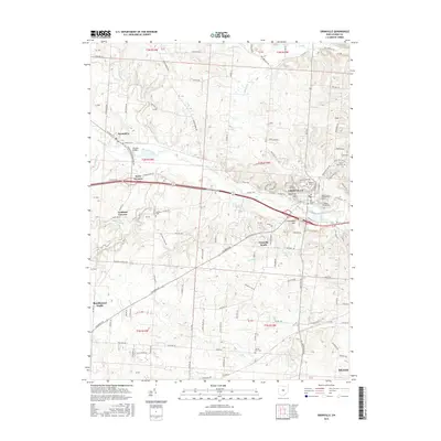
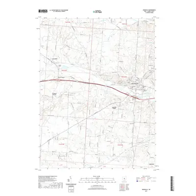
USGS Topo · Published 1959About this map
The hills of Licking County are defined by a dense network of one-room schoolhouses and rural churches in the decade before motorized transport became commonplace. Johnstown and Granville serve as the primary hubs, with the latter notably featuring Denison University overlooking Raccoon Creek. The landscape is etched with the names of early family landowners at nearly every crossroads, seen in junctions like Pattons Corners, Willison Corners, and Hazelton Corners.
Find a feature on this map
131 named features on this map. Tap any name to fly to it.
Don’t see what you’re looking for? This feature index may not catch every label — zoom into the map to look around manually.
Map Details
Date Portrayed1908
Date Published1959
PublisherU.S. Geological Survey
Map TypeTopographic
Scale1:62,500
Physical Dimensions17 x 20.8 inches
Editions of this 1908 Granville Map
This is the sole edition of this map. No revisions or reprints were ever made.
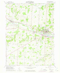
Historical Maps of Pataskala Through Time
8 maps found

Featured Locations
Source Details
SourceU.S. Geological Survey
CopyrightPublic Domain