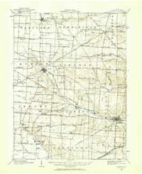
1910 Map of Granville
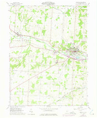
USGS Topo · Published 1944About this map
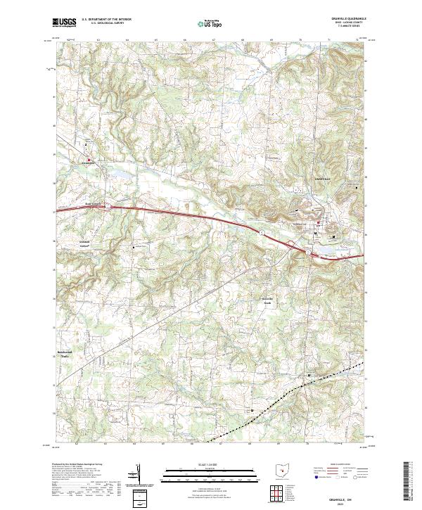
Granville and its surrounding townships in Licking County reveal a landscape defined by an dense network of named corners and rural schoolhouses during the first decade of the 20th century. The topography is shaped by the Raccoon Creek valley, where the village of Alexandria sits at the junction of several arterial routes including the Columbus Road. This area is characterized by its agricultural organization, evidenced by the high density of small district schools like Bowl Run School and Ogilvie School, alongside numerous family-named crossroads such as Willison Corners and Gosnell Corners.
Find a feature on this map
123 named features on this map. Tap any name to fly to it.
Don’t see what you’re looking for? This feature index may not catch every label — zoom into the map to look around manually.
Map Details
Editions of this 1910 Granville Map
This is the sole edition of this map. No revisions or reprints were ever made.
Historical Maps of Pataskala Through Time
8 maps found