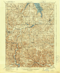
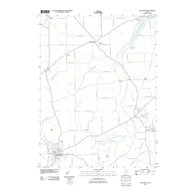
1914 Map of Loudonville
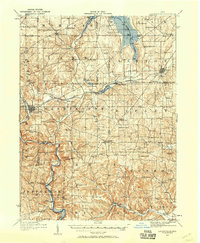
USGS Topo · Published 1944About this map
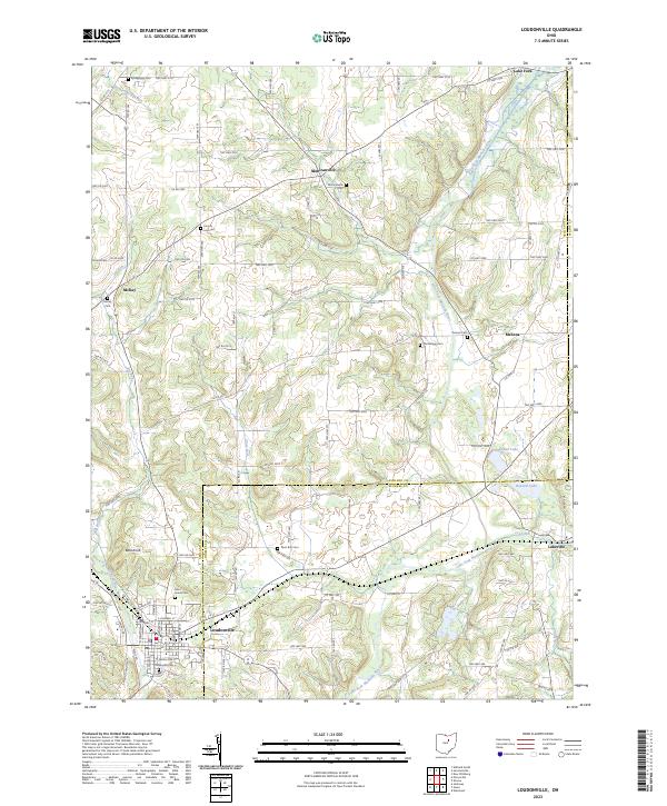
Mohicanville and the rugged hills of north-central Ohio dominate this 1912 survey, revealing a landscape defined by sharp glacial topography and early 20th-century rural infrastructure. The map follows the winding courses of the Mohican River, Black Fork, and Clear Fork, which carve deep valleys through the region. A significant historical boundary, the Greenville Treaty Line, cuts across the lower half of the sheet, marking a legacy of frontier expansion.
Find a feature on this map
83 named features on this map. Tap any name to fly to it.
Don’t see what you’re looking for? This feature index may not catch every label — zoom into the map to look around manually.
Map Details
Editions of this 1914 Loudonville Map
This is the sole edition of this map. No revisions or reprints were ever made.
Historical Maps of Loudonville Through Time
9 maps found
1912 Loudonville
Ashland County, OH
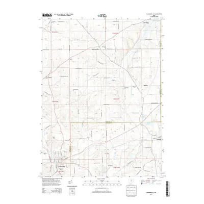
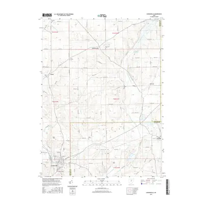
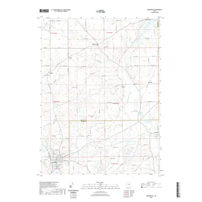
1914 Loudonville
Ashland County, OH
1943 Loudonville
Ashland County, OH
1961 Loudonville
Ashland County, OH
2010 Loudonville
Ashland County, OH
2013 Loudonville
Ashland County, OH
2016 Loudonville
Ashland County, OH
2019 Loudonville
Ashland County, OH
2023 Loudonville
Ashland County, OH