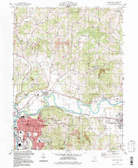
1913 Map of Coshocton
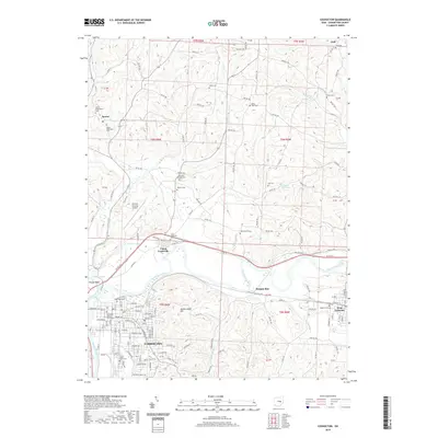
USGS Topo · Published 1964About this map
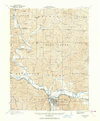
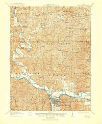
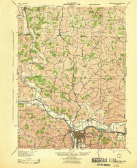
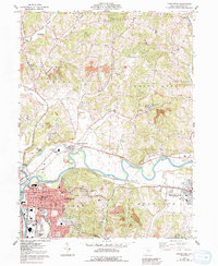
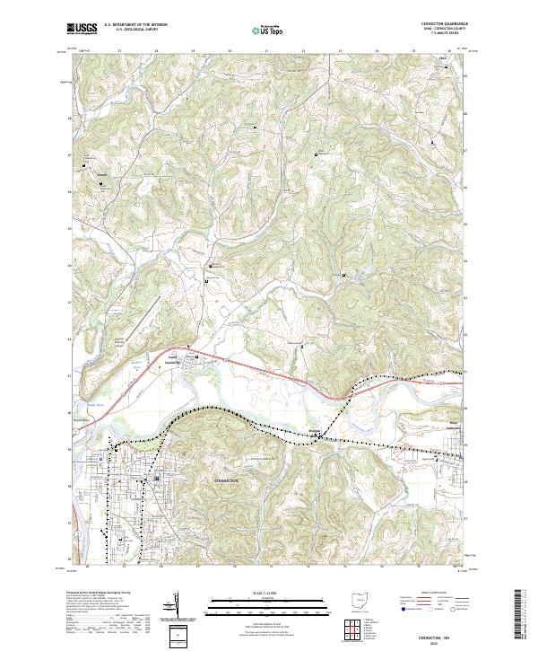
The confluence of the Walhonding River and Tuscarawas River at Coshocton forms the headwaters of the Muskingum River, creating a vital transportation hub in early twentieth-century Ohio. This landscape is defined by the remnants of the canal era, specifically the Ohio Canal which features several basins and the Canal Lewisville landmark. Industry and transit are further reflected in the Pennsylvania Lines and Wheeling and Lake Erie railroads serving the region. The map captures a high density of rural education, showing dozens of locally named institutions such as Mt Dispute School, Soggy Hill School, and Beech Grove School. Large rural townships like White Eyes, Killbuck, and Crawford are meticulously divided, revealing a pattern of small settlements such as Roscoe, Helmick, and New Bedford. Engineering on the waterways is evidenced by the Sixmile Dam, while the presence of the County Infirmary near the city center provides insight into the social infrastructure of the era.
Find a feature on this map
101 named features on this map. Tap any name to fly to it.
Don’t see what you’re looking for? This feature index may not catch every label — zoom into the map to look around manually.
Map Details
Editions of this 1913 Coshocton Map
This is the sole edition of this map. No revisions or reprints were ever made.
Historical Maps of Coshocton Through Time
10 maps found
1913 Coshocton
Coshocton County, OH
1915 Coshocton
Coshocton County, OH
1943 Coshocton
Coshocton County, OH
1961 Coshocton
Coshocton County, OH
1994 Coshocton
Coshocton County, OH
2010 Coshocton
Coshocton County, OH
2013 Coshocton
Coshocton County, OH
2016 Coshocton
Coshocton County, OH
2019 Coshocton
Coshocton County, OH
2023 Coshocton
Coshocton County, OH