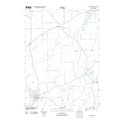
1943 Map of Loudonville
USGS Topo · Published 1943About this map
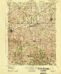
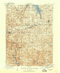
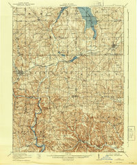
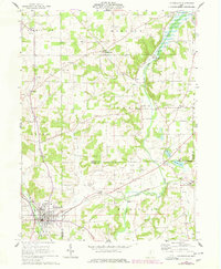
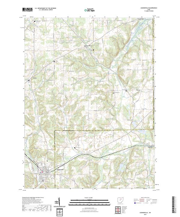
Loudonville sits at the western edge of this 1943 survey, where the Black Fork and Mohican River define the local topography. The landscape is a patchwork of small agricultural settlements and dozens of rural schoolhouses, such as Ball Alley Sch and Philips Sch, reflecting the decentralized community structure of the mid-twentieth century. The Pennsylvania railroad corridor serves as a primary transit artery, connecting towns like Lakeville, Big Prairie, and Shreve. In the south, the terrain becomes more complex near Greer and Glenmont, where Black Creek and Killbuck Creek carve through the land. This era shows the region just as aerial photography was beginning to refine topographic accuracy, yet before modern highway expansion altered the traditional footprints of places like Nashville and Mohicanville.
Find a feature on this map
89 named features on this map. Tap any name to fly to it.
Don’t see what you’re looking for? This feature index may not catch every label — zoom into the map to look around manually.
Map Details
Editions of this 1943 Loudonville Map
This is the sole edition of this map. No revisions or reprints were ever made.
Historical Maps of Loudonville Through Time
9 maps found
1912 Loudonville
Ashland County, OH
1914 Loudonville
Ashland County, OH
1943 Loudonville
Ashland County, OH
1961 Loudonville
Ashland County, OH
2010 Loudonville
Ashland County, OH
2013 Loudonville
Ashland County, OH
2016 Loudonville
Ashland County, OH
2019 Loudonville
Ashland County, OH
2023 Loudonville
Ashland County, OH