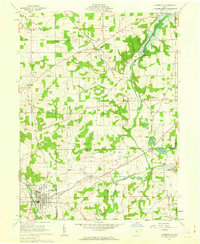
1961 Map of Loudonville
USGS Topo · Published 1963About this map
Loudonville anchors the southwestern corner of this survey, situated at the junction of the Black Fork Mohican River and the Pennsylvania railroad line. The landscape is defined by the complex hydrology of the Mohican River system, including the Lake Fork Mohican River and Pennsylvania Fork Mohican River. A significant engineering landmark, the Mohicanville Dam, controls the northern waters near Mohicanville, while the eastern terrain is dotted with active natural resource extraction sites, specifically numerous Oil Wells and Gas Wells around McZena and Lakeville. Genealogists will find several burial grounds across the rural townships, such as St Peters Cem, County Line Cem, and the Pioneer Cem. The presence of multiple pipelines and a gaging station underscores the area's mid-century role in utility infrastructure and water management.
Find a feature on this map
41 named features on this map. Tap any name to fly to it.
Don’t see what you’re looking for? This feature index may not catch every label — zoom into the map to look around manually.
Map Details
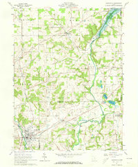
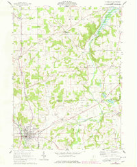
Editions of this 1961 Loudonville Map
3 editions found
Other maps of this area

1906 · West Salem
USGS Topo · 1:62,500

1908 · Ashland
USGS Topo · 1:62,500

1908 · West Salem
USGS Topo · 1:62,500

1912 · Loudonville
USGS Topo · 1:62,500

1912 · Perrysville
USGS Topo · 1:62,500

1914 · Loudonville
USGS Topo · 1:62,500

1915 · Perrysville
USGS Topo · 1:62,500

1943 · Loudonville
USGS Topo · 1:62,500

1944 · Perrysville
USGS Topo · 1:62,500

1950 · Marion
USGS Topo · 1:250,000