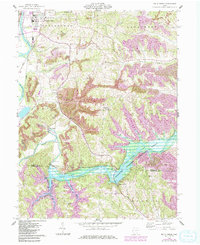
1962 Map of Wills Creek
USGS Topo · Published 1985About this map
The Muskingum River and the sprawling waters of Wills Creek Lake dominate this eastern Ohio landscape, where the borders of Coshocton and Muskingum counties meet. This 1962 survey, with revisions noted through the mid-1980s, reveals a terrain defined by heavy industrial activity and deep-rooted rural communities. Large Strip Mine operations and an extensive Conveyor system snake through the hills of Linton and Lafayette townships, contrasting with the quiet settlements of Maysville and Bacon. Genealogists will find significant detail in the numerous country churches and burial grounds, including St Pauls Ch, Our Lady of Lourdes Ch Cem, and the Zion Ch Cem. The infrastructure of the Muskingum Watershed Conservancy District is clearly marked, centered on the Wills Creek Dam and its vital role in regional water management and flood control.
Find a feature on this map
39 named features on this map. Tap any name to fly to it.
Don’t see what you’re looking for? This feature index may not catch every label — zoom into the map to look around manually.
Map Details
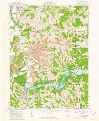
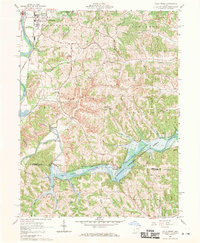
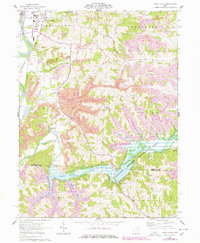
Editions of this 1962 Wills Creek Map
4 editions found
Other maps of this area

1908 · Conesville
USGS Topo · 1:62,500

1909 · Cambridge
USGS Topo · 1:62,500

1910 · Conesville
USGS Topo · 1:62,500

1911 · Newcomerstown
USGS Topo · 1:62,500

1912 · Cambridge
USGS Topo · 1:62,500

1913 · Newcomerstown
USGS Topo · 1:62,500

1913 · Coshocton
USGS Topo · 1:62,500

1915 · Coshocton
USGS Topo · 1:62,500

1943 · Coshocton
USGS Topo · 1:62,500

1943 · Newcomerstown
USGS Topo · 1:62,500