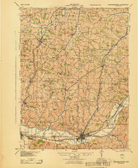
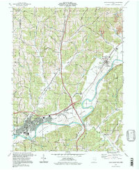
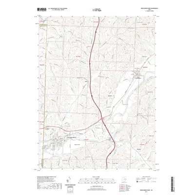
1943 Map of Newcomerstown
USGS Topo · Published 1943About this map
Newcomerstown serves as a major hub along the southern bend of the Tuscarawas River in this 1943 survey, where the Pennsylvania and Wheeling and Lake Erie railroads intersect. The landscape is dotted with small agricultural settlements and specialized landmarks such as West Lafayette College and the old blockhouse near Isleta. Higher elevations are defined by named ridges and peaks like Chestnut Ridge and Elephant Knob, while the river lowlands include distinctive features like Nugent Bottom and Umbrella Rock.
Find a feature on this map
87 named features on this map. Tap any name to fly to it.
Don’t see what you’re looking for? This feature index may not catch every label — zoom into the map to look around manually.
Map Details
Editions of this 1943 Newcomerstown Map
This is the sole edition of this map. No revisions or reprints were ever made.
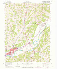
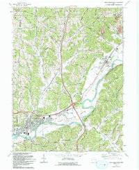
Historical Maps of Newcomerstown Through Time
11 maps found

1911 Newcomerstown
Tuscarawas County, OH
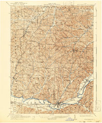
1913 Newcomerstown
Tuscarawas County, OH
1943 Newcomerstown
Tuscarawas County, OH
1961 Newcomerstown
Tuscarawas County, OH
1993 Newcomerstown
Tuscarawas County, OH
1994 Newcomerstown
Tuscarawas County, OH
2010 Newcomerstown
Tuscarawas County, OH
2013 Newcomerstown
Tuscarawas County, OH
2016 Newcomerstown
Tuscarawas County, OH
2019 Newcomerstown
Tuscarawas County, OH
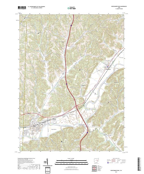
2023 Newcomerstown
Tuscarawas County, OH