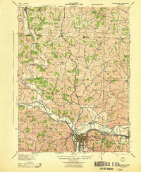
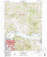
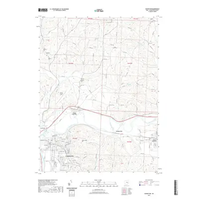
1943 Map of Coshocton
USGS Topo · Published 1943About this map
The Walhonding River and Tuscarawas River converge near the industrial hub of Coshocton, where the Pennsylvania Railroad and remnants of the Canal system define the local transport corridor. This 1943 revision, based on earlier surveys and 1940 aerial photography, captures a landscape of small townships like Bethlehem and White Eyes populated by dozens of numbered and named country schools. Notable infrastructure includes the Six Mile Dam and the County Infirmary on the outskirts of the city. To the north, the terrain transitions into the hills of Holmes County, where rural life centers around places like Becks Mills and New Bedford. The presence of an Oil Field in Clark township and numerous family-named landmarks like Yoder Sch and Sheetz Sch offer specific points of interest for genealogists tracing ancestors in the Muskingum River watershed.
Find a feature on this map
88 named features on this map. Tap any name to fly to it.
Don’t see what you’re looking for? This feature index may not catch every label — zoom into the map to look around manually.
Map Details
Editions of this 1943 Coshocton Map
This is the sole edition of this map. No revisions or reprints were ever made.
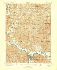
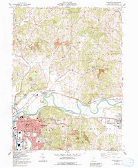
Historical Maps of Coshocton Through Time
10 maps found
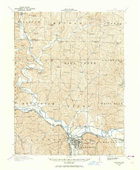
1913 Coshocton
Coshocton County, OH
1915 Coshocton
Coshocton County, OH
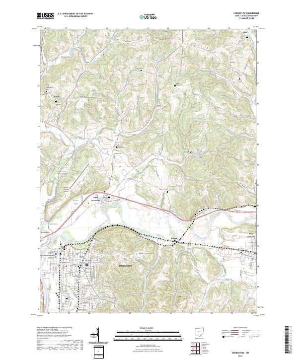
1943 Coshocton
Coshocton County, OH
1961 Coshocton
Coshocton County, OH
1994 Coshocton
Coshocton County, OH
2010 Coshocton
Coshocton County, OH
2013 Coshocton
Coshocton County, OH
2016 Coshocton
Coshocton County, OH
2019 Coshocton
Coshocton County, OH
2023 Coshocton
Coshocton County, OH