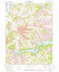
1962 Map of Wills Creek
USGS Topo · Published 1978About this map
The Muskingum River and the sprawling waters of Wills Creek Lake dominate this landscape on the border of Coshocton and Muskingum counties. By the early 1960s, the region's geography was defined by large-scale extractive industry and water management, visible in the extensive strip mines and reclaimed areas that flank the hills. The Muskingum Watershed Conservancy District manages the reservoir formed by the Wills Creek Dam, where the lake branches into narrow valleys like Bradford Run.
Find a feature on this map
38 named features on this map. Tap any name to fly to it.
Don’t see what you’re looking for? This feature index may not catch every label — zoom into the map to look around manually.
Map Details
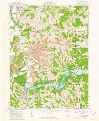
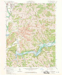
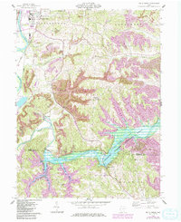
Editions of this 1962 Wills Creek Map
4 editions found
Other maps of this area

1908 · Conesville
USGS Topo · 1:62,500

1909 · Cambridge
USGS Topo · 1:62,500

1910 · Conesville
USGS Topo · 1:62,500

1911 · Newcomerstown
USGS Topo · 1:62,500

1912 · Cambridge
USGS Topo · 1:62,500

1913 · Newcomerstown
USGS Topo · 1:62,500

1913 · Coshocton
USGS Topo · 1:62,500

1915 · Coshocton
USGS Topo · 1:62,500

1943 · Coshocton
USGS Topo · 1:62,500

1943 · Newcomerstown
USGS Topo · 1:62,500