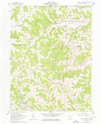
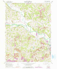
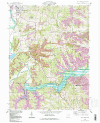
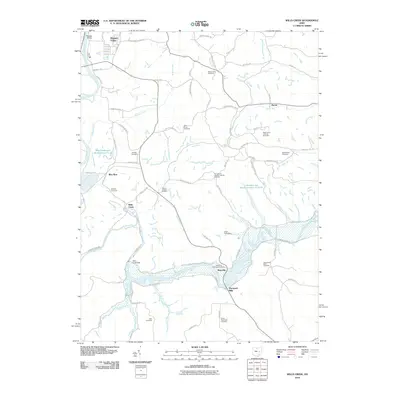
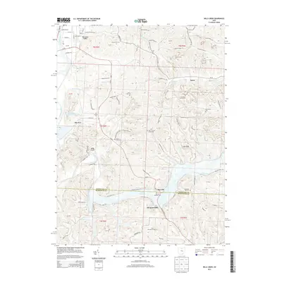
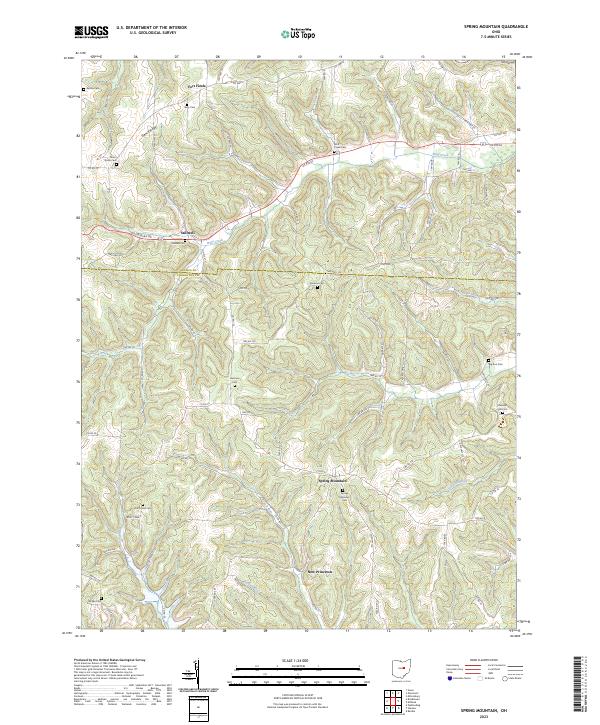
1962 Map of Spring Mountain
USGS Topo · Published 1978About this map
The rugged landscape of northwestern Coshocton County is captured here in the early 1960s, a region defined by steep ridges and a complex network of runs and creeks. The topographic detail reveals a landscape heavily shaped by extraction, with numerous quarries, gas wells, and several strip mines dotting the hillsides near Spring Mountain. Notable for local historians is the site of Fort Fizzle, a landmark associated with Civil War resistance in Richland Township.
Find a feature on this map
33 named features on this map. Tap any name to fly to it.
Don’t see what you’re looking for? This feature index may not catch every label — zoom into the map to look around manually.
Map Details
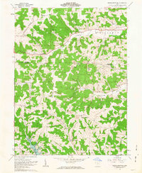
Editions of this 1962 Spring Mountain Map
2 editions found
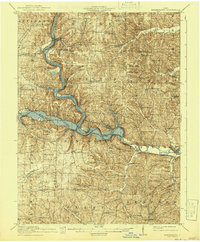
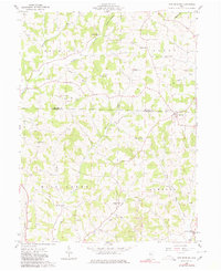
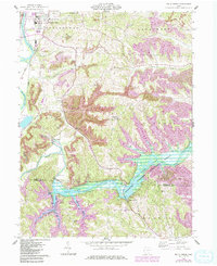
Historical Maps of Newcastle Township Through Time
29 maps found

1913 Brinkhaven
Coshocton County, OH
1915 Brinkhaven
Coshocton County, OH
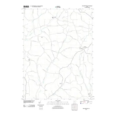
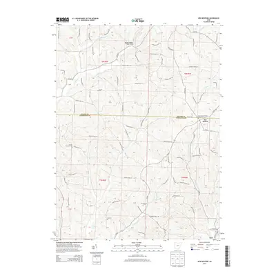
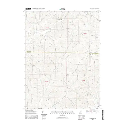
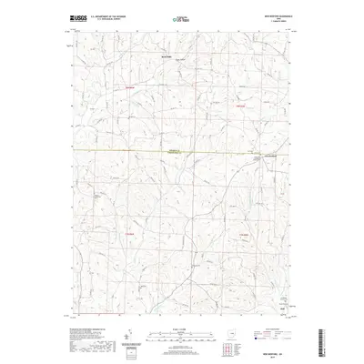
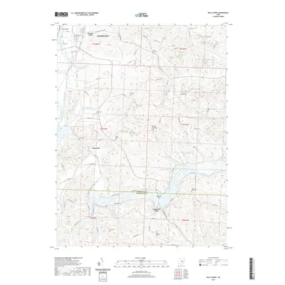
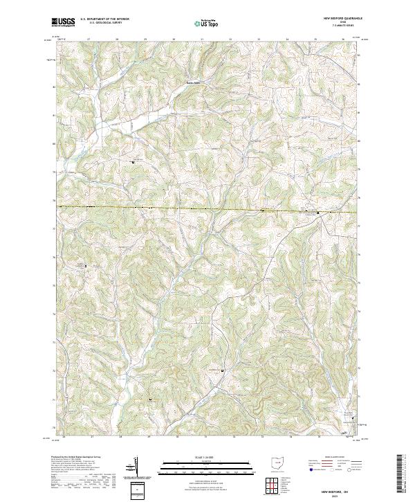
1961 New Bedford
Coshocton County, OH
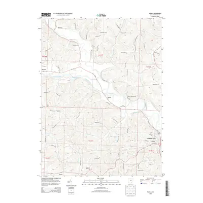
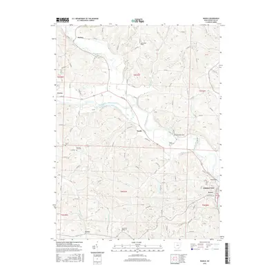
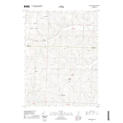
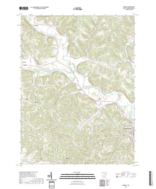
1962 Randle
Coshocton County, OH
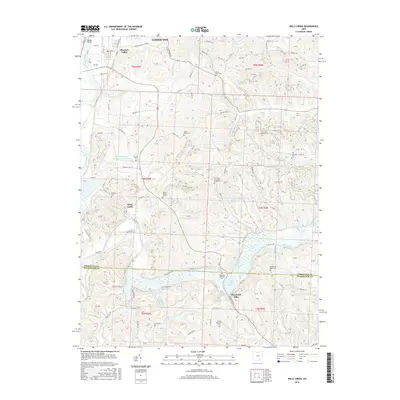
1962 Spring Mountain
Coshocton County, OH
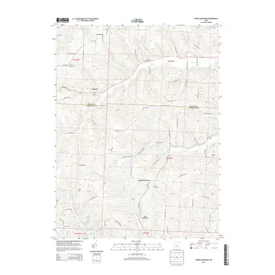
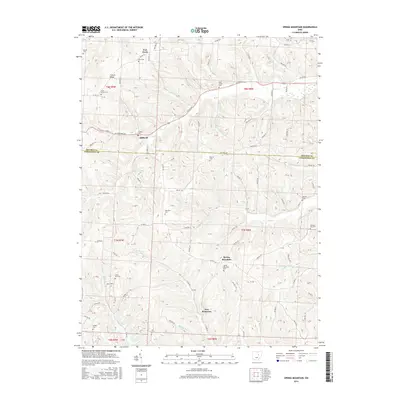
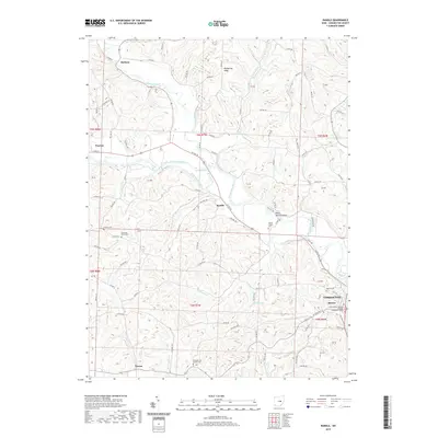
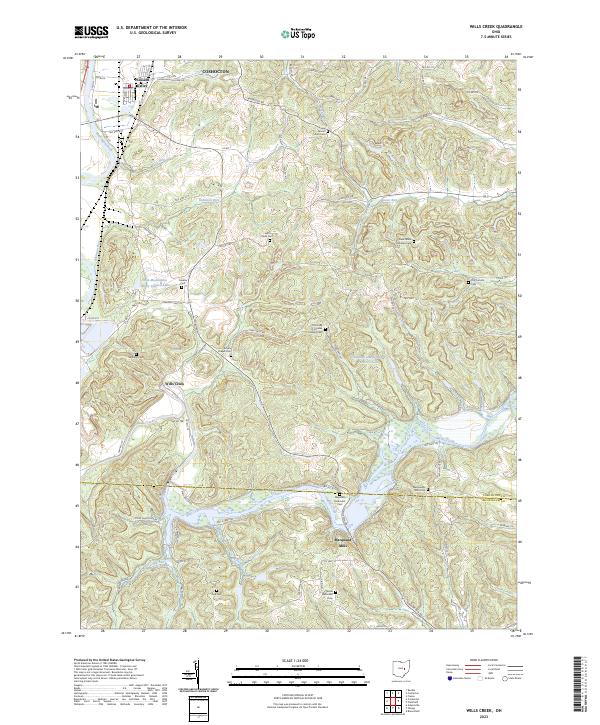
1962 Wills Creek
Coshocton County, OH
1994 New Bedford
Coshocton County, OH
1994 Randle
Coshocton County, OH
1994 Wills Creek
Coshocton County, OH
2010 New Bedford
Coshocton County, OH
2010 Randle
Coshocton County, OH
2010 Spring Mountain
Coshocton County, OH
2010 Wills Creek
Coshocton County, OH
2013 New Bedford
Coshocton County, OH
2013 Randle
Coshocton County, OH
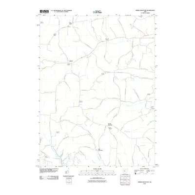
2013 Spring Mountain
Coshocton County, OH
2013 Wills Creek
Coshocton County, OH
2016 New Bedford
Coshocton County, OH
2016 Randle
Coshocton County, OH
2016 Spring Mountain
Coshocton County, OH
2016 Wills Creek
Coshocton County, OH
2019 New Bedford
Coshocton County, OH
2019 Randle
Coshocton County, OH
2019 Spring Mountain
Coshocton County, OH
2019 Wills Creek
Coshocton County, OH
2023 New Bedford
Coshocton County, OH
2023 Randle
Coshocton County, OH
2023 Spring Mountain
Coshocton County, OH
2023 Wills Creek
Coshocton County, OH