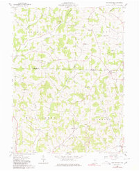
1961 Map of New Bedford
USGS Topo · Published 1980About this map
New Bedford sits at the intersection of Crawford and Mill Creek townships, anchor to a rural landscape during the early 1960s where agriculture and energy extraction coexist. This survey, grounded in 1961 field checks, documents a network of ridge-top schools including Flat Ridge Sch and Oak Ridge Sch that once served the scattered farmsteads of Mechanic and Clark townships. The map records a significant number of Gas Wells and Oil Wells peppered throughout the drainages of Doughty Creek and Mullet Run, signaling the active development of local mineral resources.
Find a feature on this map
37 named features on this map. Tap any name to fly to it.
Don’t see what you’re looking for? This feature index may not catch every label — zoom into the map to look around manually.
Map Details
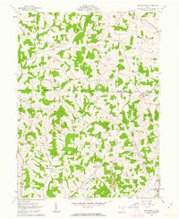
Editions of this 1961 New Bedford Map
2 editions found
Other maps of this area

1911 · Newcomerstown
USGS Topo · 1:62,500

1913 · Newcomerstown
USGS Topo · 1:62,500

1913 · Coshocton
USGS Topo · 1:62,500

1914 · Navarre
USGS Topo · 1:62,500

1915 · Millersburg
USGS Topo · 1:62,500

1915 · Coshocton
USGS Topo · 1:62,500

1943 · Millersburg
USGS Topo · 1:62,500

1943 · Coshocton
USGS Topo · 1:62,500

1943 · Newcomerstown
USGS Topo · 1:62,500

1944 · Navarre
USGS Topo · 1:62,500