
1902 Map of Wheeling
USGS Topo · Published 1902About this map
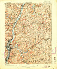
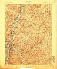
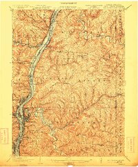
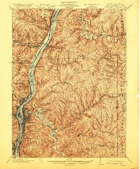
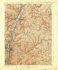
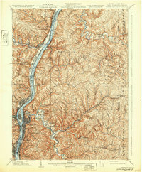
Wheeling Creek and the Ohio River serve as the industrial arteries of this tri-state borderland at the turn of the century. The map documents an intensive corridor of transportation, where the Baltimore and Ohio RR and Wheeling and Lake Erie RR trace the valley floors to serve a network of steel and coal settlements. Across the river from Martins Ferry, the landscape transitions from the urban density of Washington and Wheeling into the rolling hills of Triadelphia and Liberty. Notable local landmarks include the Mount de Chantal academy and the S Bridge, alongside recreational spaces like Wheeling Park. The survey captures the dense settlement pattern of the era, from established towns like Bridgeport and Triadelphia to smaller riverfront junctions such as Terminal Junction and Beach Bottom.
Find a feature on this map
119 named features on this map. Tap any name to fly to it.
Don’t see what you’re looking for? This feature index may not catch every label — zoom into the map to look around manually.
Map Details
Editions of this 1902 Wheeling Map
7 editions found
Other maps of this area

1901 · Cadiz
USGS Topo · 1:62,500

1903 · Cadiz
USGS Topo · 1:62,500

1904 · Steubenville
USGS Topo · 1:62,500

1904 · Cameron
USGS Topo · 1:62,500

1904 · Burgettstown
USGS Topo · 1:62,500

1905 · Rogersville
USGS Topo · 1:62,500

1905 · Clarington
USGS Topo · 1:62,500

1905 · St. Clairsville
USGS Topo · 1:62,500

1906 · Burgettstown
USGS Topo · 1:62,500

1907 · Claysville
USGS Topo · 1:62,500