
1907 Map of Claysville
USGS Topo · Published 1907About this map
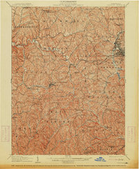
The National Pike and the Wheeling and Pittsburg Pike converge in this early-century survey of Washington County, illustrating the transition from historic overland trails to a landscape dominated by the Baltimore and Ohio RR. The village of Claysville serves as a central hub, while the presence of the Vienna Coon Island PO and Taylorstown Sta highlights the localized post office and rail networks of the era. The hillsides are dotted with numerous one-room schoolhouses, such as the Stony Point Schoolhouse and Hair Schoolhouse, alongside rural congregations like North Buffalo Church. Industrial activity is concentrated at Arden Mines and along the Electric RR near Washington, where the terrain begins to shift from agricultural valleys into more developed township centers. Genealogists will find interest in family-named landmarks like Mosier Hill and the series of reservoirs serving the growing population centers.
Find a feature on this map
92 named features on this map. Tap any name to fly to it.
Don’t see what you’re looking for? This feature index may not catch every label — zoom into the map to look around manually.
Map Details
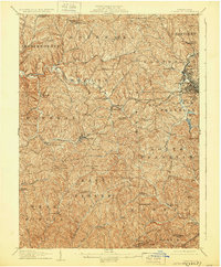
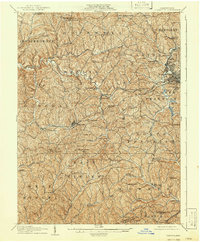
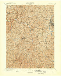
Editions of this 1907 Claysville Map
5 editions found
Other maps of this area

1901 · Amity
USGS Topo · 1:62,500

1901 · Waynesburg
USGS Topo · 1:62,500

1902 · Wheeling
USGS Topo · 1:62,500

1904 · Amity
USGS Topo · 1:62,500

1904 · Steubenville
USGS Topo · 1:62,500

1904 · Waynesburg
USGS Topo · 1:62,500

1904 · Cameron
USGS Topo · 1:62,500

1904 · Carnegie
USGS Topo · 1:62,500

1904 · Burgettstown
USGS Topo · 1:62,500

1905 · Rogersville
USGS Topo · 1:62,500
Featured Places
- Washington, PA
- South Strabane Township, PA
- Buffalo, Hopewell Township
- Independence Township, PA
- East Finley Township, PA