
1904 Map of Cameron
USGS Topo · Published 1904About this map
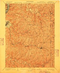
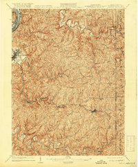
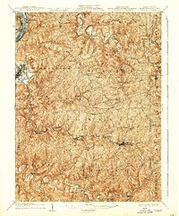
Moundsville sits at a critical junction of the Ohio River and the Baltimore and Ohio R R in this early twentieth-century survey of the West Virginia panhandle and its neighbors. The map reveals an intricate network of ridge-top roads and creek-bottom settlements, where the terrain dictated the pace of commerce and travel. The Waynesburg Turnpike winds through the northern hills, while the rail line follows the winding path of Grave Creek through Rosbys Rock toward Cameron.
Find a feature on this map
80 named features on this map. Tap any name to fly to it.
Don’t see what you’re looking for? This feature index may not catch every label — zoom into the map to look around manually.
Map Details
Editions of this 1904 Cameron Map
4 editions found
Other maps of this area

1902 · Wheeling
USGS Topo · 1:62,500

1903 · Littleton
USGS Topo · 1:62,500

1905 · Mannington
USGS Topo · 1:62,500

1905 · Rogersville
USGS Topo · 1:62,500

1905 · Littleton
USGS Topo · 1:62,500

1905 · Clarington
USGS Topo · 1:62,500

1905 · St. Clairsville
USGS Topo · 1:62,500

1906 · New Martinsville
USGS Topo · 1:62,500

1907 · Claysville
USGS Topo · 1:62,500

1923 · Mannington
USGS Topo · 1:62,500