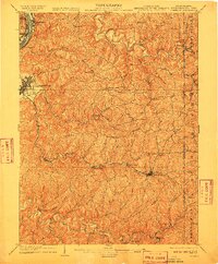
1904 Map of Cameron
USGS Topo · Published 1910About this map
Moundsville sits at the western edge of this 1902 survey, where the Ohio River meets a landscape defined by deep valleys and high ridges like Spring Hill. The settlement patterns here follow the winding courses of Wheeling Creek and Fish Creek, with numerous small communities such as Glen Easton, Loudenville, and Adaline established at creek forks. The infrastructure of the early twentieth century is clearly visible, anchored by the Baltimore and Ohio R. R. which connects the primary rail hub at Cameron to the riverfront via Rosbys Rock. Transportation over the hills is dominated by the Waynesburg Turnpike, while local industry is represented by sites like Crows Mills. This map captures a moment when the tri-state border region of West Virginia, Pennsylvania, and Ohio relied heavily on this complex network of narrow runs and ridge roads for commerce and communication.
Find a feature on this map
79 named features on this map. Tap any name to fly to it.
Don’t see what you’re looking for? This feature index may not catch every label — zoom into the map to look around manually.
Map Details
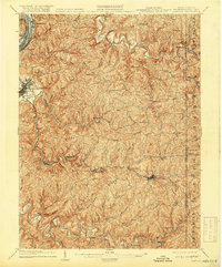
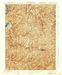
Editions of this 1904 Cameron Map
4 editions found
Other maps of this area

1902 · Wheeling
USGS Topo · 1:62,500

1903 · Littleton
USGS Topo · 1:62,500

1904 · Cameron
USGS Topo · 1:62,500

1905 · Mannington
USGS Topo · 1:62,500

1905 · Rogersville
USGS Topo · 1:62,500

1905 · Littleton
USGS Topo · 1:62,500

1905 · Clarington
USGS Topo · 1:62,500

1905 · St. Clairsville
USGS Topo · 1:62,500

1906 · New Martinsville
USGS Topo · 1:62,500

1907 · Claysville
USGS Topo · 1:62,500