
1905 Map of Rogersville
USGS Topo · Published 1905About this map
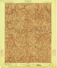
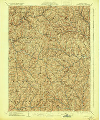
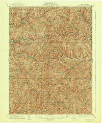
Rogersville and the surrounding township lands of Center, Jackson, and Richhill define this 1905 landscape in southwestern Pennsylvania. The area is characterized by a dense network of creek valleys and ridges, where early 20th-century life centered around remote post offices and small rural hubs. Key landmarks like Harveys P.O. Graysville and Simpson Store served the dispersed agricultural community. The drainage patterns of South Fork Tenmile Creek and Wheeling Creek dictate the layout of winding roads and scattered dwellings, illustrating the difficult transit of the era.
Find a feature on this map
88 named features on this map. Tap any name to fly to it.
Don’t see what you’re looking for? This feature index may not catch every label — zoom into the map to look around manually.
Map Details
Editions of this 1905 Rogersville Map
4 editions found
Other maps of this area

1901 · Amity
USGS Topo · 1:62,500

1901 · Waynesburg
USGS Topo · 1:62,500

1902 · Wheeling
USGS Topo · 1:62,500

1903 · Littleton
USGS Topo · 1:62,500

1904 · Amity
USGS Topo · 1:62,500

1904 · Blacksville
USGS Topo · 1:62,500

1904 · Waynesburg
USGS Topo · 1:62,500

1904 · Cameron
USGS Topo · 1:62,500

1905 · Mannington
USGS Topo · 1:62,500

1905 · Littleton
USGS Topo · 1:62,500