
1904 Map of Blacksville
USGS Topo · Published 1904About this map
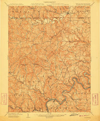
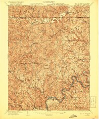
The borderlands of northern Monongalia County and southern Greene County are defined here by the winding course of Dunkard Creek and a dense network of mountain runs. This 1904 survey reveals a transition from the agricultural hills of Mount Morris and Blacksville to the industrial activity emerging along the Monongahela River. The southern portion of the map showcases the river's lock system, including Lock No. 12 through Lock No. 15, which facilitated regional transport alongside the Baltimore and Ohio Railroad. Notable riverside operations like the Montana Mines and the hub at Rivesville underscore the era's coal and river-borne economy. Small post offices and crossroads such as Center P.O. McCurdyville and Scottdale P.O. Murray provide critical reference points for genealogists tracking family settlements in the West Virginia and Pennsylvania border region at the start of the 20th century.
Find a feature on this map
122 named features on this map. Tap any name to fly to it.
Don’t see what you’re looking for? This feature index may not catch every label — zoom into the map to look around manually.
Map Details
Editions of this 1904 Blacksville Map
3 editions found
Other maps of this area

1886 · St. George
USGS Topo · 1:125,000

1891 · St. George
USGS Topo · 1:125,000

1900 · Masontown
USGS Topo · 1:62,500

1901 · Waynesburg
USGS Topo · 1:62,500

1902 · Clarksburg
USGS Topo · 1:62,500

1902 · Fairmont
USGS Topo · 1:62,500

1902 · Morgantown
USGS Topo · 1:62,500

1903 · Masontown
USGS Topo · 1:62,500

1904 · Waynesburg
USGS Topo · 1:62,500

1905 · Mannington
USGS Topo · 1:62,500